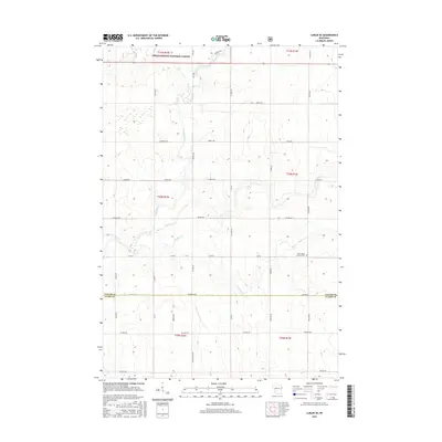
2015 Map of Lublin SE
USGS Topo · Published 2015About this map
The Black River meanders southward through this section of central Wisconsin, carving a path through the transition from the Chequamegon National Forest in the north to the agricultural grids of Taylor and Clark Counties. The landscape is defined by its drainage network, where Pine Creek and Trappers Cr feed into the river system. This 2015 survey illustrates a rural infrastructure centered on family farm access and forest management, with a dense grid of named thoroughfares like Fairground Ave and Hamm Dr providing local connectivity. A notable site for local history is the Saint Marys Catholic Cem, situated along Co Hwy A, serving as a permanent record of the area's early Catholic settlers. The transition across Co Line Rd marks the administrative divide between Taylor and Clark counties, reflecting the long-established surveyor's lines that continue to dictate the region's development.
Find a feature on this map
47 named features on this map. Tap any name to fly to it.
Don’t see what you’re looking for? This feature index may not catch every label — zoom into the map to look around manually.
Map Details
Editions of this 2015 Lublin SE Map
This is the sole edition of this map. No revisions or reprints were ever made.
Other maps of this area

1951 · Lublin
USGS Topo · 1:48,000

1951 · Medford
USGS Topo · 1:48,000

1953 · Abbotsford
USGS Topo · 1:48,000

1953 · Owen
USGS Topo · 1:48,000

1953 · Eau Claire
USGS Topo · 1:250,000

1953 · Rice Lake
USGS Topo · 1:250,000

1958 · Eau Claire
USGS Topo · 1:250,000

1959 · Rice Lake
USGS Topo · 1:250,000

1963 · Abbotsford
USGS Topo · 1:62,500

1963 · Owen
USGS Topo · 1:62,500