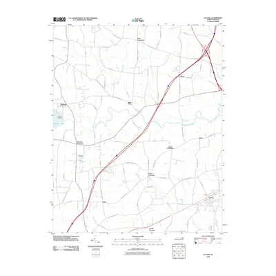
2010 Map of Lucama
USGS Topo · Published 2010About this map
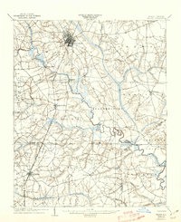
Lucama serves as the primary hub in this eastern North Carolina landscape, where a dense network of country roads connects several historic rural crossroads. The area is defined by the winding course of Contentnea Creek, which is fed by numerous tributaries including Marsh Swamp, Little Swamp, and Mill Branch. These watercourses dictate the layout of the land, with larger reservoirs like Buckhorn Lake and Hinnants Lake managed by the Buckhorn Lake Dam and Hinnants Lake Dam.
Find a feature on this map
71 named features on this map. Tap any name to fly to it.
Don’t see what you’re looking for? This feature index may not catch every label — zoom into the map to look around manually.
Map Details
Editions of this 2010 Lucama Map
This is the sole edition of this map. No revisions or reprints were ever made.
Other maps of this area
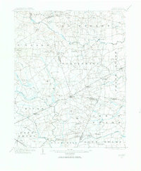
1902 · Kenly
USGS Topo · 1:62,500

1902 · Rocky Mount
USGS Topo · 1:62,500
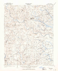
1902 · Spring Hope
USGS Topo · 1:62,500

1903 · Kenly
USGS Topo · 1:62,500

1904 · Rocky Mount
USGS Topo · 1:62,500
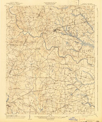
1904 · Springhope
USGS Topo · 1:62,500
1904 · Wilson
USGS Topo · 1:62,500

1953 · Rocky Mount
USGS Topo · 1:250,000

1953 · Raleigh
USGS Topo · 1:250,000

1954 · Rocky Mount
USGS Topo · 1:250,000