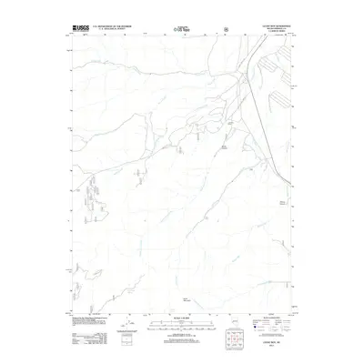
2011 Map of Lucky Boy
USGS Topo · Published 2011About this map
Lucky Boy Ranch sits as a central human landmark in this high-elevation landscape of Mineral County, where the terrain is defined by a complex network of canyons and seasonal watercourses. The map documents the transit routes through the mountains, notably Lucky Boy Pass Rd and Cory Canyon Rd, which thread through the drainage basins of Powell Creek and Corey Creek. Water sources are critical identifiers in this arid environment, marked by sites such as Rock Cabin Spring and Buller Spring near the base of Buller Mountain. The intricate topography is further revealed through named geographical features like North Canyon and Willow Canyon, which channel the flow of Alum Creek and Willow Creek toward the lower elevations. This modern survey captures the persistence of these named remote features and the enduring ranching and transit footprint in the Nevada desert.
Find a feature on this map
36 named features on this map. Tap any name to fly to it.
Don’t see what you’re looking for? This feature index may not catch every label — zoom into the map to look around manually.
Map Details
Editions of this 2011 Lucky Boy Map
This is the sole edition of this map. No revisions or reprints were ever made.
Other maps of this area
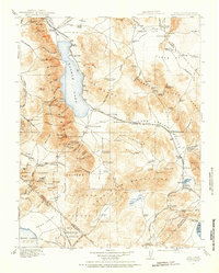
1909 · Hawthorne
USGS Topo · 1:250,000
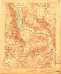
1911 · Hawthorne
USGS Topo · 1:250,000
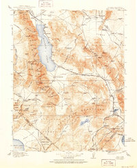
1915 · Hawthorne
USGS Topo · 1:250,000

1948 · Walker Lake
USGS Topo · 1:250,000
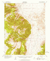
1955 · Powell Mtn
USGS Topo · 1:62,500
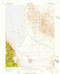
1955 · Hawthorne
USGS Topo · 1:62,500
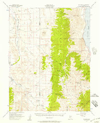
1956 · Mt. Grant
USGS Topo · 1:62,500
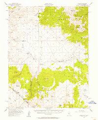
1956 · Aurora
USGS Topo · 1:62,500
1957 · Walker Lake
USGS Topo · 1:250,000
1962 · Walker Lake
USGS Topo · 1:250,000