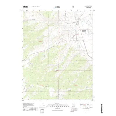
2018 Map of Lucky Boy
USGS Topo · Published 2018About this map
The eastern slopes of the Wassuk Range define this high-altitude landscape near the edge of the Hawthorne Army Depot. Steep drainages like Stone Cabin Canyon and Cottonwood Canyon descend from the ridges toward the desert basin, highlighting a topography shaped by seasonal runoff. Water sources such as Rock Cabin Spring and Buller Spring provide rare points of relief in this arid environment, often serving as critical landmarks for movement through the terrain. Much of the southern portion of the map is protected within the Toiyabe National Forest. Transportation is limited to narrow corridors like Lucky Boy Pass Rd, which follows the natural contours to provide passage through the peaks. This layout illustrates the typical Great Basin pattern of isolated mountain ranges separated by vast alluvial fans and military-industrial reservations.
Find a feature on this map
30 named features on this map. Tap any name to fly to it.
Don’t see what you’re looking for? This feature index may not catch every label — zoom into the map to look around manually.
Map Details
Editions of this 2018 Lucky Boy Map
This is the sole edition of this map. No revisions or reprints were ever made.
Other maps of this area
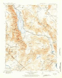
1909 · Hawthorne
USGS Topo · 1:250,000
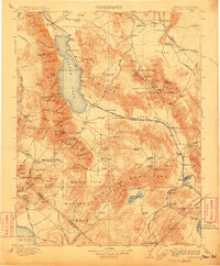
1911 · Hawthorne
USGS Topo · 1:250,000
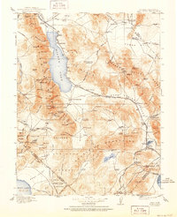
1915 · Hawthorne
USGS Topo · 1:250,000

1948 · Walker Lake
USGS Topo · 1:250,000
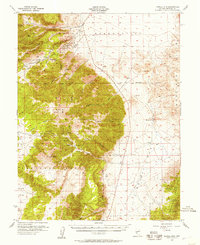
1955 · Powell Mtn
USGS Topo · 1:62,500
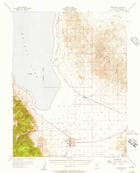
1955 · Hawthorne
USGS Topo · 1:62,500
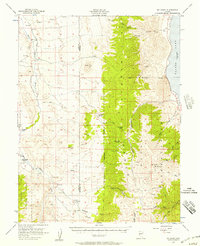
1956 · Mt. Grant
USGS Topo · 1:62,500
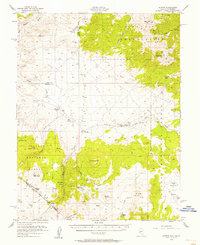
1956 · Aurora
USGS Topo · 1:62,500
1957 · Walker Lake
USGS Topo · 1:250,000
1962 · Walker Lake
USGS Topo · 1:250,000