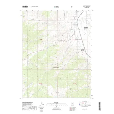
2021 Map of Lucky Boy
USGS Topo · Published 2021About this map
The Wassuk Range dominates this portion of Mineral County, where steep terrain and high elevations define the landscape of the Toiyabe National Forest. The map captures a transitional zone between the high peaks and the military installations to the east, notably the Hawthorne Army Depot. Movement through this high-desert environment is dictated by geography, with routes like Lucky Boy Pass Rd and Alum Creek Road navigating the sharp relief of the canyons.
Find a feature on this map
29 named features on this map. Tap any name to fly to it.
Don’t see what you’re looking for? This feature index may not catch every label — zoom into the map to look around manually.
Map Details
Editions of this 2021 Lucky Boy Map
This is the sole edition of this map. No revisions or reprints were ever made.
Other maps of this area
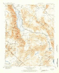
1909 · Hawthorne
USGS Topo · 1:250,000
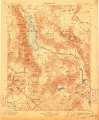
1911 · Hawthorne
USGS Topo · 1:250,000
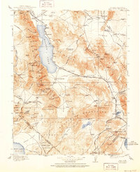
1915 · Hawthorne
USGS Topo · 1:250,000

1948 · Walker Lake
USGS Topo · 1:250,000
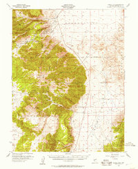
1955 · Powell Mtn
USGS Topo · 1:62,500
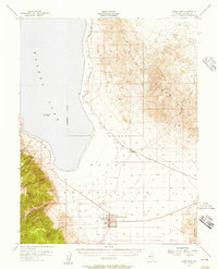
1955 · Hawthorne
USGS Topo · 1:62,500
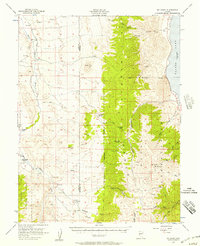
1956 · Mt. Grant
USGS Topo · 1:62,500
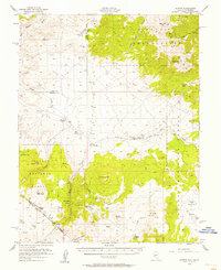
1956 · Aurora
USGS Topo · 1:62,500
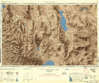
1957 · Walker Lake
USGS Topo · 1:250,000
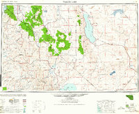
1962 · Walker Lake
USGS Topo · 1:250,000