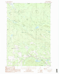
1986 Map of Ludlow
USGS Topo · Published 1986About this map
Aroostook County's northern timber and agricultural lands are documented here during the mid-1980s, centered on the small village of Ludlow and the nearby Smyrna Center. The landscape is a network of ridges and water bodies, notably Bull Ridge and Gardiner Ridge, which frame a complex system of brooks and beaver ponds. Evidence of the local infrastructure includes a Radio Tower at Collier and a Gaging Station situated along the drainage near the southern boundary.
Find a feature on this map
60 named features on this map. Tap any name to fly to it.
Don’t see what you’re looking for? This feature index may not catch every label — zoom into the map to look around manually.
Map Details
Editions of this 1986 Ludlow Map
2 editions found
Other maps of this area

1934 · Bridgewater
USGS Topo · 1:48,000

1935 · Howe Brook
USGS Topo · 1:48,000

1937 · Smyrna Mills
USGS Topo · 1:62,500

1938 · Bridgewater
USGS Topo · 1:62,500

1938 · Houlton
USGS Topo · 1:62,500

1939 · Howe Brook
USGS Topo · 1:62,500

1951 · Houlton
USGS Topo · 1:62,500

1951 · Bridgewater
USGS Topo · 1:62,500

1953 · Bridgewater
USGS Topo · 1:50,000

1954 · Howe Brook
USGS Topo · 1:62,500