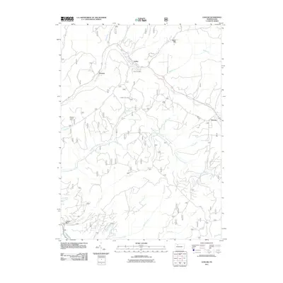
2011 Map of Ludlow
USGS Topo · Published 2011About this map
Ludlow and Roystone sit at the confluence of several vital waterways in the northern reaches of Pennsylvania's timberlands. The landscape is defined by the intricate drainage basin of the East Branch Tionesta Creek, where numerous runs like Twomile Run, Windfall Run, and Pigeon Run carve through the terrain near Gibbs Hill. The map documents a blend of forest management and early 21st-century infrastructure, featuring landmarks such as the Sheffield Lookout Tower and Hoffman Farm Camp. For those tracing local heritage, Moriah Cemetery provides a specific point of genealogical interest near the established settlements. The network of forest routes, including Olmsted Rd and Farm Rd, highlights the ongoing relationship between these communities and the surrounding woodland, while County Line Run serves as a reminder of the historical administrative boundaries that have shaped the region's development.
Find a feature on this map
26 named features on this map. Tap any name to fly to it.
Don’t see what you’re looking for? This feature index may not catch every label — zoom into the map to look around manually.
Map Details
Editions of this 2011 Ludlow Map
This is the sole edition of this map. No revisions or reprints were ever made.
Other maps of this area

1906 · Warren
USGS Topo · 1:62,500

1907 · Warren
USGS Topo · 1:62,500

1908 · Warren
USGS Topo · 1:62,500

1934 · Kane
USGS Topo · 1:48,000

1935 · Sheffield
USGS Topo · 1:48,000

1936 · Kinzua
USGS Topo · 1:48,000

1939 · Kane
USGS Topo · 1:62,500

1941 · Sheffield
USGS Topo · 1:62,500

1941 · Kinzua
USGS Topo · 1:62,500
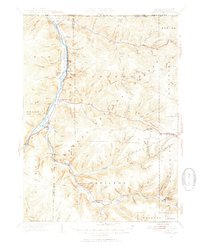
1949 · Kinzua
USGS Topo · 1:62,500
Featured Places
- Sheffield Township, PA
- Wetmore, Hamilton Township
- Wetmore Township, PA
- Hamilton Township, PA
- Gibbs Hill, Hamilton Township