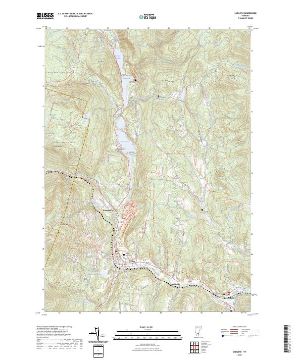
2024 Map of Ludlow
USGS Topo · Published 2024About this map
The Black River carves a central path through this Vermont landscape, connecting a chain of water bodies including Amherst Lake, Echo Lake, and Lake Rescue. This corridor supports the primary settlements of Ludlow and Proctorsville, where the topography transitions from the high peaks of the Green Mountains and Coolidge Range into more developed valley floors. The mapping reveals a dense network of early thoroughfares such as Crown Point Rd and Kingdom Rd, which link the various hillside hamlets and cemeteries.
Find a feature on this map
102 named features on this map. Tap any name to fly to it.
Don’t see what you’re looking for? This feature index may not catch every label — zoom into the map to look around manually.
Map Details
Editions of this 2024 Ludlow Map
This is the sole edition of this map. No revisions or reprints were ever made.
Other maps of this area

1891 · Rutland
USGS Topo · 1:62,500

1893 · Wallingford
USGS Topo · 1:62,500

1893 · Rutland
USGS Topo · 1:62,500

1911 · Woodstock
USGS Topo · 1:62,500

1913 · Woodstock
USGS Topo · 1:62,500

1928 · Ludlow
USGS Topo · 1:48,000

1929 · Ludlow
USGS Topo · 1:62,500

1932 · Ludlow
USGS Topo · 1:62,500

1943 · Woodstock
USGS Topo · 1:62,500

1950 · Glens Falls
USGS Topo · 1:250,000