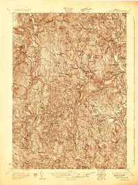
1928 Map of Ludlow
USGS Topo · Published 1928About this map
The Black River valley serves as the central artery for this late-1920s portrait of Windsor County, where the Rutland railroad tracks follow the river's bend through industrial and agricultural hubs. Major settlements like Ludlow, Proctorsville, and Cavendish are depicted in detail, showing the concentration of homes and services near the water's edge. Beyond the valley floors, the landscape is defined by the steep slopes of Hawks Mountain and Terrible Mtn, while the upland plateaus are dotted with numerous small district schools such as Wheeler Sch and Smokeshire Sch.
Find a feature on this map
94 named features on this map. Tap any name to fly to it.
Don’t see what you’re looking for? This feature index may not catch every label — zoom into the map to look around manually.
Map Details
Editions of this 1928 Ludlow Map
This is the sole edition of this map. No revisions or reprints were ever made.
Other maps of this area
1891 · Rutland
USGS Topo · 1:62,500
1893 · Wallingford
USGS Topo · 1:62,500
1893 · Rutland
USGS Topo · 1:62,500
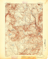
1894 · Londonderry
USGS Topo · 1:62,500
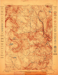
1899 · Londonderry
USGS Topo · 1:62,500
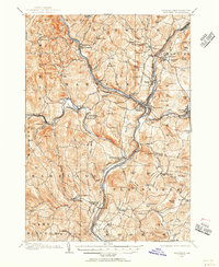
1906 · Hanover
USGS Topo · 1:62,500
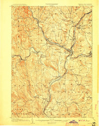
1908 · Hanover
USGS Topo · 1:62,500
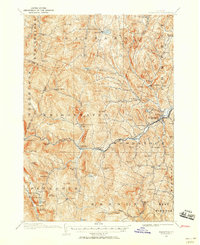
1911 · Woodstock
USGS Topo · 1:62,500
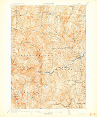
1913 · Woodstock
USGS Topo · 1:62,500
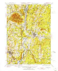
1926 · Claremont
USGS Topo · 1:62,500