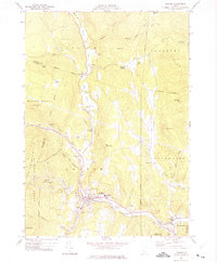
1971 Map of Ludlow
USGS Topo · Published 1975About this map
The Black River carves a deep path through Windsor and Rutland Counties in this Vermont survey, creating a chain of water bodies including Amherst Lake, Echo Lake, and Lake Rescue. These natural basins define the central corridor of the map, supporting seasonal recreational landmarks like Camp Plymouth and guiding the historic route through the mountain terrain. The settlement at Ludlow serves as a primary hub, featuring the Black River High Sch and a local Armory, while the village of Proctorsville anchors the southeastern corner near the Proctor-Piper State Forest.
Find a feature on this map
63 named features on this map. Tap any name to fly to it.
Don’t see what you’re looking for? This feature index may not catch every label — zoom into the map to look around manually.
Map Details
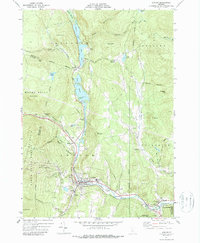
Editions of this 1971 Ludlow Map
2 editions found
Other maps of this area

1891 · Rutland
USGS Topo · 1:62,500

1893 · Wallingford
USGS Topo · 1:62,500

1893 · Rutland
USGS Topo · 1:62,500

1911 · Woodstock
USGS Topo · 1:62,500

1913 · Woodstock
USGS Topo · 1:62,500

1928 · Ludlow
USGS Topo · 1:48,000

1929 · Ludlow
USGS Topo · 1:62,500

1932 · Ludlow
USGS Topo · 1:62,500

1943 · Woodstock
USGS Topo · 1:62,500

1950 · Glens Falls
USGS Topo · 1:250,000