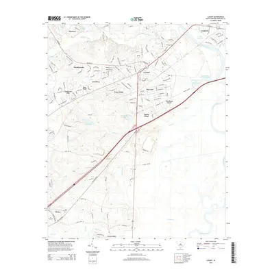
2014 Map of Lugoff
USGS Topo · Published 2014About this map
Lugoff serves as the central hub of this South Carolina landscape, situated where the high ground transitions toward the Wateree River basin. The map reveals a suburbanizing character defined by a dense network of residential developments such as Gettysburg, Sandwood Hills, and Pepper Ridge, which are interwoven with established natural features. To the south, the terrain descends into the expansive Gum Swamp and the bottomlands of Gillies Cr.
Find a feature on this map
135 named features on this map. Tap any name to fly to it.
Don’t see what you’re looking for? This feature index may not catch every label — zoom into the map to look around manually.
Map Details
Editions of this 2014 Lugoff Map
This is the sole edition of this map. No revisions or reprints were ever made.
Other maps of this area

1935 · Camden
USGS Topo · 1:48,000

1935 · Killian
USGS Topo · 1:48,000

1937 · Killian
USGS Topo · 1:62,500

1938 · Camden
USGS Topo · 1:62,500

1938 · Hagood
USGS Topo · 1:62,500

1941 · Spartanburg
USGS Topo · 1:250,000

1942 · Camden
USGS Topo · 1:125,000

1953 · Camden South
USGS Topo · 1:24,000

1953 · Messers Pond
USGS Topo · 1:24,000

1953 · Lugoff
USGS Topo · 1:24,000