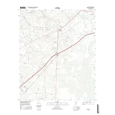
2017 Map of Lugoff
USGS Topo · Published 2017About this map
Lugoff and the western outskirts of Camden are defined by the wide corridor of the Wateree River, where the landscape transitions from developed road networks into expansive lowlands. The eastern portion of the sheet is dominated by complex water systems, including Gum Swamp and Betty Neck Swamp, alongside engineered features like Wateree Farm Pond Number One. These wetlands contrast with the upland residential growth seen around Kellytown and the many named drives branching off Ridgeway Rd.
Find a feature on this map
106 named features on this map. Tap any name to fly to it.
Don’t see what you’re looking for? This feature index may not catch every label — zoom into the map to look around manually.
Map Details
Editions of this 2017 Lugoff Map
This is the sole edition of this map. No revisions or reprints were ever made.
Other maps of this area

1935 · Camden
USGS Topo · 1:48,000

1935 · Killian
USGS Topo · 1:48,000

1937 · Killian
USGS Topo · 1:62,500

1938 · Camden
USGS Topo · 1:62,500

1938 · Hagood
USGS Topo · 1:62,500

1941 · Spartanburg
USGS Topo · 1:250,000

1942 · Camden
USGS Topo · 1:125,000

1953 · Camden South
USGS Topo · 1:24,000

1953 · Messers Pond
USGS Topo · 1:24,000

1953 · Lugoff
USGS Topo · 1:24,000