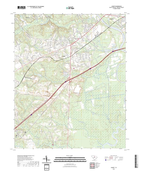
2024 Map of Lugoff
USGS Topo · Published 2024About this map
Lugoff and the western outskirts of Camden anchor this contemporary perspective of Kershaw County, where the sprawling wetlands of the Wateree River valley meet the growing residential corridors of the South Carolina midlands. The landscape is defined by its complex drainage network, featuring the broad reaches of Gum Swamp, English Swamp, and Betty Neck Swamp. These lowlands contrast with the upland developments and infrastructure, such as the Over the Hill Airport and the commercial activity along Dupont Blvd.
Find a feature on this map
121 named features on this map. Tap any name to fly to it.
Don’t see what you’re looking for? This feature index may not catch every label — zoom into the map to look around manually.
Map Details
Editions of this 2024 Lugoff Map
This is the sole edition of this map. No revisions or reprints were ever made.
Other maps of this area

1935 · Camden
USGS Topo · 1:48,000

1935 · Killian
USGS Topo · 1:48,000

1937 · Killian
USGS Topo · 1:62,500

1938 · Camden
USGS Topo · 1:62,500

1938 · Hagood
USGS Topo · 1:62,500

1941 · Spartanburg
USGS Topo · 1:250,000

1942 · Camden
USGS Topo · 1:125,000

1953 · Camden South
USGS Topo · 1:24,000

1953 · Messers Pond
USGS Topo · 1:24,000

1953 · Lugoff
USGS Topo · 1:24,000