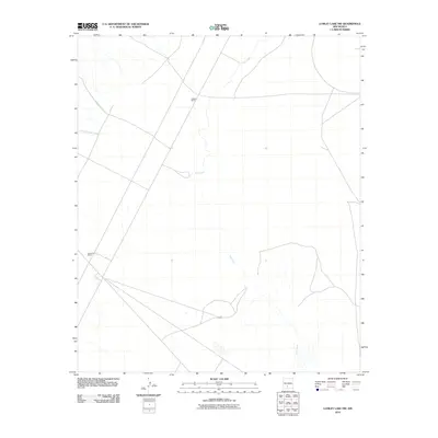
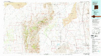
2010 Map of Lumley Lake NW
USGS Topo · Published 2010About this map
Jackson Ranch and Henderson Ranch serve as primary landmarks in this arid Sierra County landscape, where water dictates the location of human activity. The map reveals a network of intermittent drainages, with Salt Creek winding through the central and eastern portions of the quadrangle. These seasonal watercourses, including Sweetwater Creek and Good Fortune Creek, form the geological backbone of the region. The sparse distribution of named ranch sites reflects the historical ranching patterns of southern New Mexico, where vast grazing lands were anchored by established homesteads near these critical drainage systems. The survey details the relationship between the topography and the remote road networks that connect these isolated outposts.
Find a feature on this map
5 named features on this map. Tap any name to fly to it.
Don’t see what you’re looking for? This feature index may not catch every label — zoom into the map to look around manually.
Map Details
Editions of this 2010 Lumley Lake NW Map
This is the sole edition of this map. No revisions or reprints were ever made.
Other maps of this area
1916 · Salinas Peak
USGS Topo · 1:125,000
1916 · Tularosa
USGS Topo · 1:125,000
1947 · Capitol Peak
USGS Topo · 1:62,500
1948 · Black Top Mountain
USGS Topo · 1:62,500
1948 · Salinas Peak
USGS Topo · 1:62,500
1948 · Lumley Lake
USGS Topo · 1:62,500

1954 · Tularosa
USGS Topo · 1:250,000

1958 · Tularosa
USGS Topo · 1:250,000
1981 · Salinas Peak
USGS Topo · 1:24,000
1981 · Tularosa
USGS Topo · 1:100,000