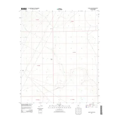
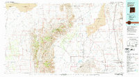
2013 Map of Lumley Lake NW
USGS Topo · Published 2013About this map
Tularosa Valley defines the arid character of this Sierra County landscape, where water sources are the primary markers of human activity and survival. Sparse ranching outposts like Jackson Ranch and Henderson Ranch stand as isolated points of settlement within a network of ephemeral drainage systems including Salt Cr, Sweetwater Cr, and Good Fortune Cr. The presence of Smith Tank further underscores the necessity of water management for livestock in this high-desert environment. The southern portion of the map is transversed by WSMR S Route 301, reflecting the area's integration into larger logistical networks. This 2013 record documents a region where the vastness of the public land survey system is punctuated only by these rare family-named landmarks and historical water improvements.
Find a feature on this map
14 named features on this map. Tap any name to fly to it.
Don’t see what you’re looking for? This feature index may not catch every label — zoom into the map to look around manually.
Map Details
Editions of this 2013 Lumley Lake NW Map
This is the sole edition of this map. No revisions or reprints were ever made.
Other maps of this area
1916 · Salinas Peak
USGS Topo · 1:125,000
1916 · Tularosa
USGS Topo · 1:125,000
1947 · Capitol Peak
USGS Topo · 1:62,500
1948 · Black Top Mountain
USGS Topo · 1:62,500
1948 · Salinas Peak
USGS Topo · 1:62,500
1948 · Lumley Lake
USGS Topo · 1:62,500

1954 · Tularosa
USGS Topo · 1:250,000

1958 · Tularosa
USGS Topo · 1:250,000
1981 · Salinas Peak
USGS Topo · 1:24,000
1981 · Tularosa
USGS Topo · 1:100,000