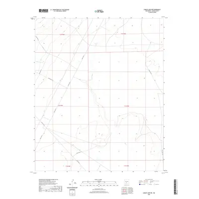
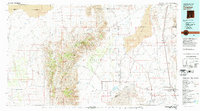
2020 Map of Lumley Lake NW
USGS Topo · Published 2020About this map
Sweetwater Cr and Salt Cr define the drainage patterns of this Sierra County landscape, which is dominated by the restricted infrastructure of the White Sands Missile Range. The presence of several established access ways, such as WSMR P Route 7 and WSMR P Route 13, reflects the ongoing military management of this high desert terrain. The lack of traditional townships or civilian settlements emphasizes the specialized role of this land in the 21st century. Good Fortune Cr cuts through the western portion of the quadrangle, where the Public Land Survey System grid still meticulously marks the underlying geography of T13S R5E and surrounding sections. Researchers will find a preserved desert environment where natural watercourses like Salt Cr are the primary landmarks amidst a network of strictly controlled service roads including WSMR S Route 300.
Find a feature on this map
15 named features on this map. Tap any name to fly to it.
Don’t see what you’re looking for? This feature index may not catch every label — zoom into the map to look around manually.
Map Details
Editions of this 2020 Lumley Lake NW Map
This is the sole edition of this map. No revisions or reprints were ever made.
Other maps of this area
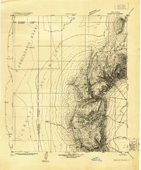
1916 · Salinas Peak
USGS Topo · 1:125,000
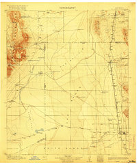
1916 · Tularosa
USGS Topo · 1:125,000
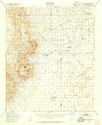
1947 · Capitol Peak
USGS Topo · 1:62,500
1948 · Black Top Mountain
USGS Topo · 1:62,500
1948 · Salinas Peak
USGS Topo · 1:62,500
1948 · Lumley Lake
USGS Topo · 1:62,500

1954 · Tularosa
USGS Topo · 1:250,000

1958 · Tularosa
USGS Topo · 1:250,000
1981 · Salinas Peak
USGS Topo · 1:24,000
1981 · Tularosa
USGS Topo · 1:100,000