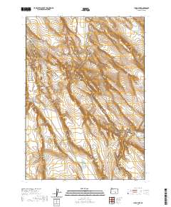
2020 Map of Lunch Lake
USGS Topo · Published 2020About this map
Smoky Hollow Rim and the surrounding high desert terrain define this corner of Harney County, where the landscape is carved by seasonal watercourses and sudden elevation changes. The drainage of Buzzard Cr cuts through the territory, creating prominent landforms like Buzzard Canyon and the aptly named Deep Canyon to the south. This environment is characterized by large township blocks and public land divisions, reflecting the expansive ranching and grazing history of southeastern Oregon.
Find a feature on this map
11 named features on this map. Tap any name to fly to it.
Don’t see what you’re looking for? This feature index may not catch every label — zoom into the map to look around manually.
Map Details
Editions of this 2020 Lunch Lake Map
This is the sole edition of this map. No revisions or reprints were ever made.
Other maps of this area

1955 · Burns
USGS Topo · 1:250,000

1958 · Burns
USGS Topo · 1:250,000

1959 · Burns
USGS Topo · 1:250,000
1980 · Hughet Spring
USGS Topo · 1:24,000
1980 · Meadow Lake
USGS Topo · 1:24,000
1980 · Lunch Lake
USGS Topo · 1:24,000
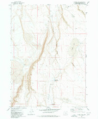
1980 · Flybee Lake
USGS Topo · 1:24,000
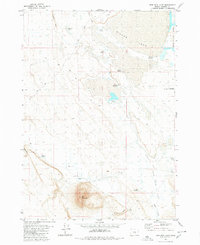
1980 · Iron Mtn. Flat
USGS Topo · 1:24,000
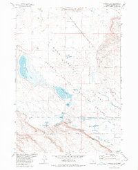
1980 · Stinking Lake
USGS Topo · 1:24,000
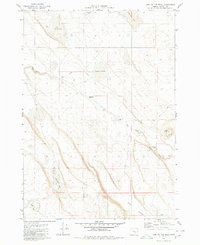
1980 · Lake on The Trail
USGS Topo · 1:24,000