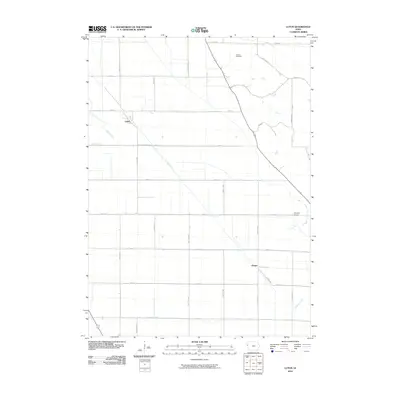
2010 Map of Luton
USGS Topo · Published 2010About this map
Agricultural patterns and drainage infrastructure define the landscape around the small settlements of Luton and Owego in Woodbury County. The terrain is structured by an extensive grid of section-line roads, including Dallas Ave and 300th St, which facilitate movement between rural homesteads and regional markets. Water management is central to the area's geography, evidenced by the Farmers Canal and Farmers Ditch, which redirect flow alongside natural waterways like Whiskey Creek and Camp Creek.
Find a feature on this map
28 named features on this map. Tap any name to fly to it.
Don’t see what you’re looking for? This feature index may not catch every label — zoom into the map to look around manually.
Map Details
Editions of this 2010 Luton Map
This is the sole edition of this map. No revisions or reprints were ever made.
Other maps of this area

1955 · Sioux City
USGS Topo · 1:250,000

1958 · Sioux City
USGS Topo · 1:250,000

1959 · Sioux City
USGS Topo · 1:250,000

1964 · Sergeant Bluff
USGS Topo · 1:24,000

1964 · Lawton
USGS Topo · 1:24,000

1964 · Climbing Hill
USGS Topo · 1:24,000

1964 · Luton
USGS Topo · 1:24,000

1964 · Moville
USGS Topo · 1:24,000

1964 · Salix
USGS Topo · 1:24,000

1969 · Albaton
USGS Topo · 1:24,000