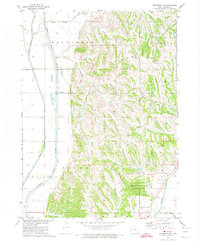
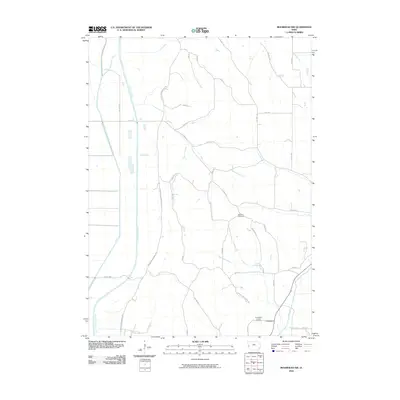
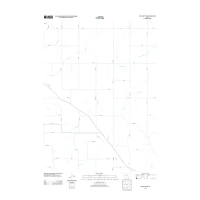
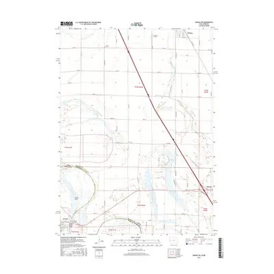
1969 Map of Albaton
USGS Topo · Published 1971About this map
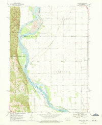
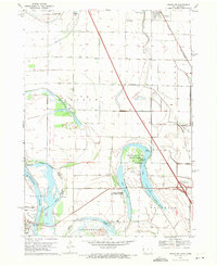
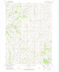
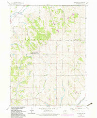
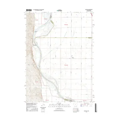
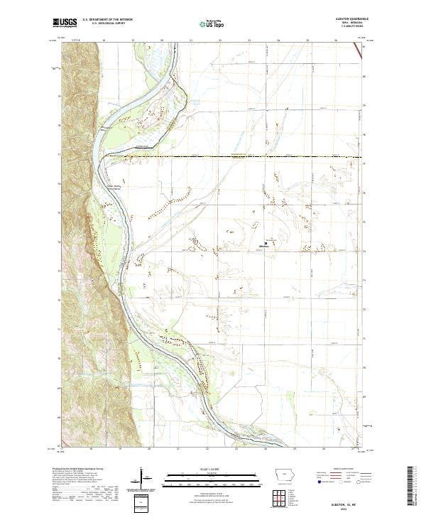
The Missouri River defines the western edge of this landscape, marking the complex boundary between Iowa and Nebraska. This 1969 survey captures a rural riverine environment where state and tribal lines intersect, including the Winnebago Indian Reservation Boundary and the Omaha Indian Reservation Boundary. The small settlement of Albaton sits centrally among the lowlands, serving as a local focal point near the Fairview Cem and the Mission Covenant Ch. The terrain transitions from the river bottomlands to the wooded bluffs of Winnebago and Horsehead, providing a clear view of the area's drainage via the Lake Port Ditch and Blackbird Creek. Significant land use markers like the Old Indian Treaty Bdy and a Lookout Tower reflect the historical layering of administration and survey in this Missouri River valley region.
Find a feature on this map
31 named features on this map. Tap any name to fly to it.
Don’t see what you’re looking for? This feature index may not catch every label — zoom into the map to look around manually.
Map Details
Editions of this 1969 Albaton Map
This is the sole edition of this map. No revisions or reprints were ever made.
Historical Maps of Albaton Through Time
31 maps found
1969 Albaton
Monona County, IA
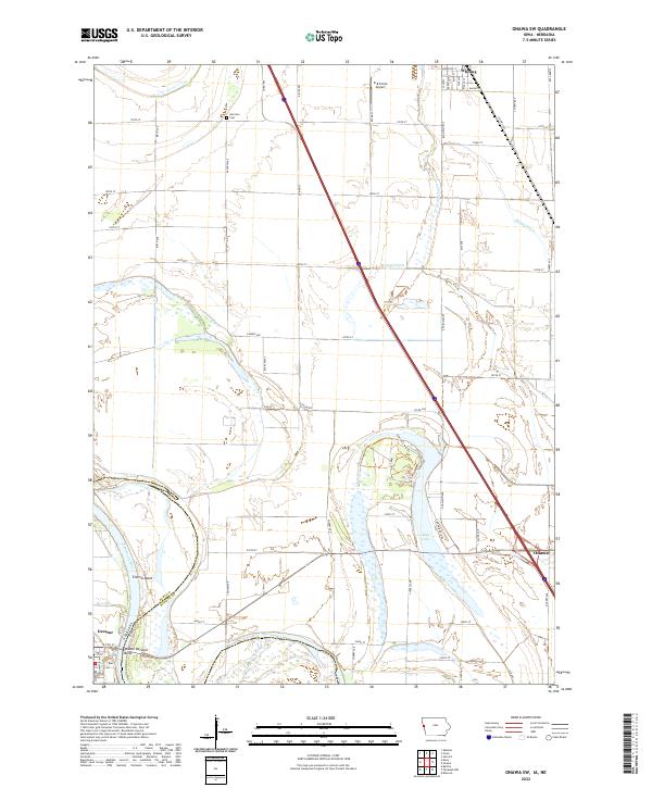
1969 Onawa SW
Monona County, IA
1971 Dunlap NW
Monona County, IA
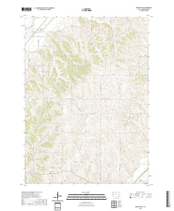
1971 Mapleton SE
Monona County, IA
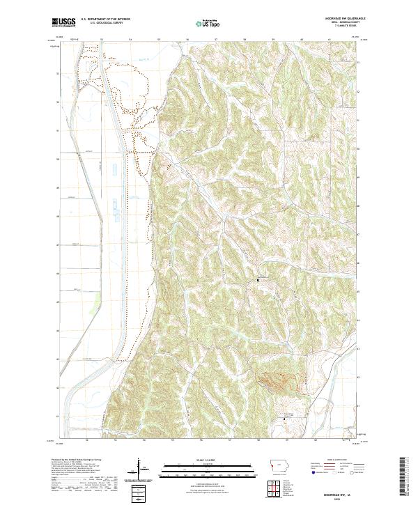
1971 Moorhead NW
Monona County, IA
1977 Albaton
Monona County, IA
2010 Dunlap NW
Monona County, IA
2010 Mapleton SE
Monona County, IA
2010 Moorhead NW
Monona County, IA
2010 Onawa SW
Monona County, IA
2012 Albaton
Monona County, IA
2013 Albaton
Monona County, IA
2013 Dunlap NW
Monona County, IA
2013 Mapleton SE
Monona County, IA
2013 Moorhead NW
Monona County, IA
2013 Onawa SW
Monona County, IA
2015 Albaton
Monona County, IA
2015 Dunlap NW
Monona County, IA
2015 Mapleton SE
Monona County, IA
2015 Moorhead NW
Monona County, IA
2015 Onawa SW
Monona County, IA
2018 Albaton
Monona County, IA
2018 Dunlap NW
Monona County, IA
2018 Mapleton SE
Monona County, IA
2018 Moorhead NW
Monona County, IA
2018 Onawa SW
Monona County, IA
2022 Albaton
Monona County, IA
2022 Dunlap NW
Monona County, IA
2022 Mapleton SE
Monona County, IA
2022 Moorhead NW
Monona County, IA
2022 Onawa SW
Monona County, IA