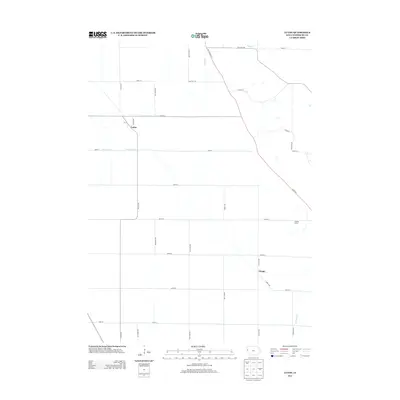
2013 Map of Luton
USGS Topo · Published 2013About this map
Luton and the surrounding agricultural lands of Woodbury County are defined by a precision grid of section roads and complex drainage engineering. The landscape is characterized by the Farmers Ditch and Farmers Canal, which highlight the region's managed water systems essential for prairie farming. Small clusters of development appear at Owego and Luton, while Snyders Grove provides a rare patch of timbered terrain amidst the expansive fields. The transportation network is anchored by Old Hwy 141 and Co Rd D25, tracing the subtle shifts in topography near Camp Cr. This survey captures the rural character of the area as it appeared in the early 21st century, documenting the persistence of these small communities and the systematic layout of the Iowa countryside.
Find a feature on this map
28 named features on this map. Tap any name to fly to it.
Don’t see what you’re looking for? This feature index may not catch every label — zoom into the map to look around manually.
Map Details
Editions of this 2013 Luton Map
This is the sole edition of this map. No revisions or reprints were ever made.
Other maps of this area

1955 · Sioux City
USGS Topo · 1:250,000

1958 · Sioux City
USGS Topo · 1:250,000

1959 · Sioux City
USGS Topo · 1:250,000

1964 · Sergeant Bluff
USGS Topo · 1:24,000

1964 · Lawton
USGS Topo · 1:24,000

1964 · Climbing Hill
USGS Topo · 1:24,000

1964 · Luton
USGS Topo · 1:24,000

1964 · Moville
USGS Topo · 1:24,000

1964 · Salix
USGS Topo · 1:24,000

1969 · Albaton
USGS Topo · 1:24,000