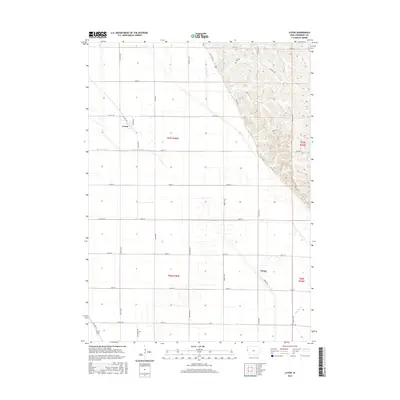
2015 Map of Luton
USGS Topo · Published 2015About this map
Luton and the small settlement of Owego anchor this Woodbury County landscape, where the flat, fertile Missouri River floodplain meets the distinct rise of the loess hills to the east. The drainage and irrigation infrastructure essential to Iowa agriculture is well-documented here, featuring the straight-line cuts of the Farmers Canal and Farmers Ditch alongside natural waterways like Camp Cr and Whiskey Cr. The geometric precision of the township-and-range section lines is overlaid by a complex network of county roads and highways, including State Hwy 982 and Old Hwy 141, which follow the contours where the bottomlands meet the upland bluffs. Genealogists will find the Grange Cem positioned on the higher ground overlooking the valley, providing a specific landmark for local family histories.
Find a feature on this map
37 named features on this map. Tap any name to fly to it.
Don’t see what you’re looking for? This feature index may not catch every label — zoom into the map to look around manually.
Map Details
Editions of this 2015 Luton Map
This is the sole edition of this map. No revisions or reprints were ever made.
Other maps of this area

1955 · Sioux City
USGS Topo · 1:250,000

1958 · Sioux City
USGS Topo · 1:250,000

1959 · Sioux City
USGS Topo · 1:250,000

1964 · Sergeant Bluff
USGS Topo · 1:24,000

1964 · Lawton
USGS Topo · 1:24,000

1964 · Climbing Hill
USGS Topo · 1:24,000

1964 · Luton
USGS Topo · 1:24,000

1964 · Moville
USGS Topo · 1:24,000

1964 · Salix
USGS Topo · 1:24,000

1969 · Albaton
USGS Topo · 1:24,000