2018 Map of Luton
USGS Topo · Published 2018About this map
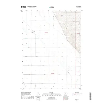
The settlement of Luton occupies the northwest portion of this Woodbury County landscape, where the flat alluvial plains of the Missouri River valley meet the rising loess hills to the east. This 2018 survey illustrates a highly engineered agricultural environment defined by the Farmers Ditch and Farmers Canal, which facilitate drainage and irrigation across the township lines of t87n r46w and t86n r46w. In the southeast, the small community of Owego sits near the winding course of Whiskey Cr, illustrating the transition from the grid-iron road system of the plains to the more varied topography of the bluffs. Local history is anchored by the Grange Cem, located near the northern boundary, and natural drainage patterns are still evident along Camp Cr as it descends from the higher elevations into the valley floor.
Find a feature on this map
33 named features on this map. Tap any name to fly to it.
Don’t see what you’re looking for? This feature index may not catch every label — zoom into the map to look around manually.
Map Details
Editions of this 2018 Luton Map
This is the sole edition of this map. No revisions or reprints were ever made.
Other maps of this area

1955 · Sioux City
USGS Topo · 1:250,000

1958 · Sioux City
USGS Topo · 1:250,000

1959 · Sioux City
USGS Topo · 1:250,000

1964 · Sergeant Bluff
USGS Topo · 1:24,000

1964 · Lawton
USGS Topo · 1:24,000

1964 · Climbing Hill
USGS Topo · 1:24,000

1964 · Luton
USGS Topo · 1:24,000

1964 · Moville
USGS Topo · 1:24,000

1964 · Salix
USGS Topo · 1:24,000

1969 · Albaton
USGS Topo · 1:24,000