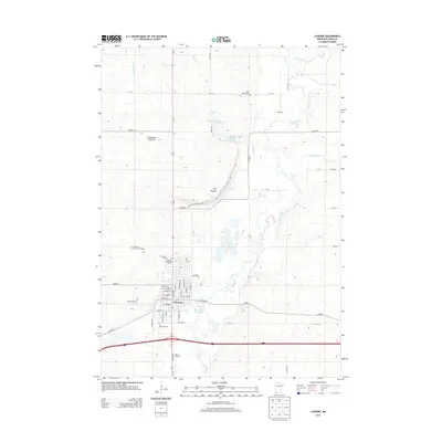
2013 Map of Luverne
USGS Topo · Published 2013About this map
Luverne and the surrounding Rock County landscape are defined by the Coteau des Prairies, an expansive plateau that rises here as a prominent quartzite escarpment known as The Mound. This 2013 survey illustrates the convergence of agriculture and conservation, centered on Blue Mounds State Park. The town of Luverne serves as the regional hub, with its street grid anchored by West Main Street and East Main Street, while the Rock River Reservoir provides a managed water source along the Rock River. Local heritage is well-documented through a high concentration of burial grounds, including the Norwegian Cem, Saint Catherines Cem, and Blue Mound Cem, offering clear data points for genealogists. Outlying features like Vans Dairy and the Verne Drive-In reflect the enduring rural and roadside character of this corner of southwestern Minnesota.
Find a feature on this map
41 named features on this map. Tap any name to fly to it.
Don’t see what you’re looking for? This feature index may not catch every label — zoom into the map to look around manually.
Map Details
Editions of this 2013 Luverne Map
This is the sole edition of this map. No revisions or reprints were ever made.
Other maps of this area

1955 · Sioux Falls
USGS Topo · 1:250,000

1958 · Sioux Falls
USGS Topo · 1:250,000

1967 · Edgerton South
USGS Topo · 1:24,000

1967 · Magnolia
USGS Topo · 1:24,000

1967 · Hills
USGS Topo · 1:24,000

1967 · Kenneth
USGS Topo · 1:24,000

1967 · Jasper SE
USGS Topo · 1:24,000

1967 · Hills NE
USGS Topo · 1:24,000

1967 · Ellsworth
USGS Topo · 1:24,000

1967 · Ash Creek
USGS Topo · 1:24,000