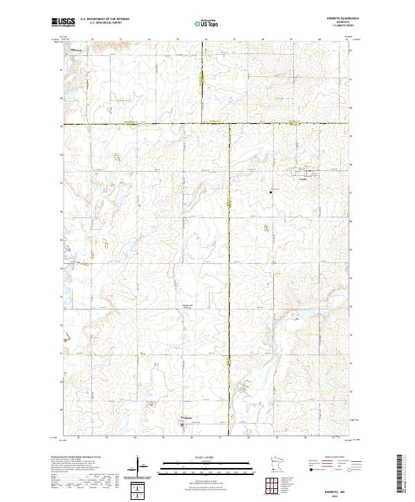
1967 Map of Kenneth
USGS Topo · Published 1968About this map
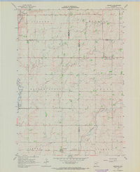
Kenneth and Leota anchor this southwestern Minnesota prairie landscape, mapped during the late 1960s across the intersection of four counties: Pipestone, Murray, Rock, and Nobles. The area is defined by a rigorous grid of section lines and township boundaries, including Battle Plain and Vienna, reflecting the intensive agricultural development of the region. The transport network is particularly well-defined, showing the Chicago Rock Island and Pacific railroad running through the southern portion of the quadrangle while the C M St P & P serves the northwest near Edgerton.
Find a feature on this map
23 named features on this map. Tap any name to fly to it.
Don’t see what you’re looking for? This feature index may not catch every label — zoom into the map to look around manually.
Map Details
Editions of this 1967 Kenneth Map
This is the sole edition of this map. No revisions or reprints were ever made.
Historical Maps of Edgerton Through Time
6 maps found