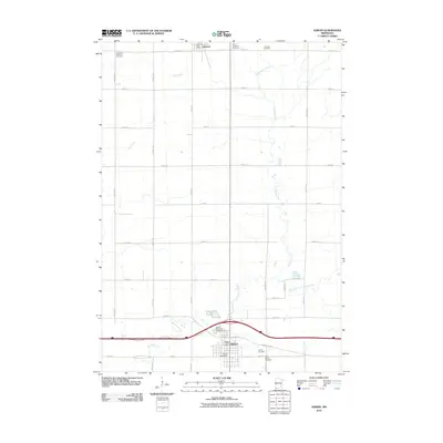
1967 Map of Adrian
USGS Topo · Published 1969About this map
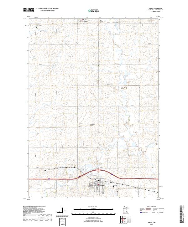
Adrian stands as a significant rail hub in Nobles County during the late 1960s, situated at the junction of the Chicago and North Western railroad and the Chicago Rock Island and Pacific. The landscape is defined by the townships of Lismore, Larkin, Westside, and Olney, where agricultural life is punctuated by numerous Gravel Pits and local institutions. Genealogists will find several burial grounds of interest, including the St Adrian Cem south of the city and St Anthonys Cem near the northern boundary. The drainage of the prairie is marked by the winding paths of Kanaranzi Creek and Elk Creek, which flow through the rolling terrain toward the East Branch. The presence of the Sewage Disposal Ponds near the rail lines reflects the municipal infrastructure supporting the area's growth at this time.
Find a feature on this map
24 named features on this map. Tap any name to fly to it.
Don’t see what you’re looking for? This feature index may not catch every label — zoom into the map to look around manually.
Map Details
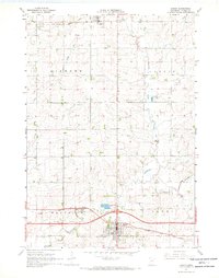
Editions of this 1967 Adrian Map
This is the sole edition of this map. No revisions or reprints were ever made.
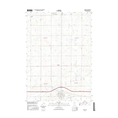
Historical Maps of Adrian Through Time
6 maps found