Old Maps of Edgerton, Minnesota
Explore 27 old maps of Edgerton, spanning from 1955 to today. These high-resolution historic maps reveal how streets, neighborhoods, landmarks, and natural features evolved over time — perfect for genealogy, metal detecting, research, and local history exploration.
What you can do with these maps:
- See how Edgerton changed over time: Compare historical maps to modern-day views to trace roads, homesites, rail lines & more.
- View detailed metadata: Each map includes creators, publishers, year, scale, and archive source.
- Overlay maps with satellite & LiDAR: Visualize the past alongside modern tools to explore terrain & human change.
- Trusted historical sources: Maps sourced from the USGS, Library of Congress, and other archives.
- Access maps your way: View online, download high-res files, or order prints for personal or research use.
Start exploring old maps of Edgerton to uncover forgotten places, hidden landmarks, and the deep history beneath your feet.
Edgerton, MN maps
(27)- 1955 Map of Sioux Falls, 1967 Print
 1955 Sioux Falls1967 Print · USGSThe eastern South Dakota and western Minnesota borderlands come alive in the mid-fifties, showing the vital rail-to-river connections of the era. Genealogists can trace family footprints across townships like Madison and Pipestone, while following the paths of the Big Sioux River and the Chicago and North Western line.3 unique versions available
 - 1958 Map of Sioux Falls
 1958 Sioux Falls1958 Print · USGSThe tri-state borderlands of South Dakota, Minnesota, and Iowa are captured here during the mid-century peak of the regional rail network. Genealogists and historians can trace local landmarks like Augustana Academy, the St Marys Cem, and the path of the Illinois Central through Rock Rapids.
 - 1967 Map of Edgerton South, 1968 Print
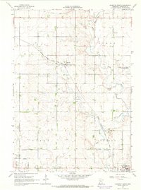
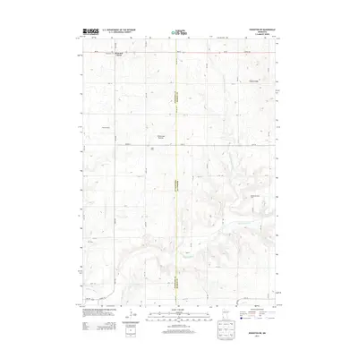
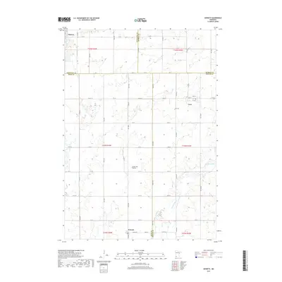
 1967 Edgerton South1968 Print · USGSPipestone and Rock Counties are captured in the late sixties, showing a landscape defined by the Chicago Rock Island and Pacific railroad. Genealogists and local historians can trace the town layouts of Edgerton and Hardwick, or locate family plots at Hillside Cem.
 - 1967 Map of Edgerton North, 1968 Print
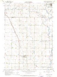
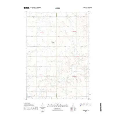
 1967 Edgerton North1968 Print · USGSPipestone County in the late sixties shows a landscape defined by the Milwaukee Road and steady agricultural life. Genealogists and historians can locate Trosky Cem, the small siding at Hatfield, and numerous Gravel Pits.
 - 1967 Map of Edgerton NE, 1968 Print
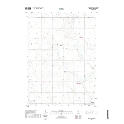
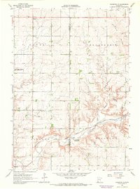 1967 Edgerton NE1968 Print · USGSSouthwestern Minnesota's prairie highlands come to life in the late sixties as agricultural townships and rail lines define the rural landscape. Researchers can locate the Woodstock Cemetery, trace the Milwaukee Road tracks, and find early landmarks like Diamond Corner.
 - 1967 Map of Kenneth, 1968 Print
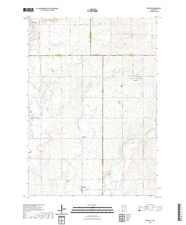
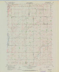 1967 Kenneth1968 Print · USGSAcross the prairie townships of southwest Minnesota in the 1960s, this survey shows the rail-and-road network connecting Kenneth and Leota. Genealogists and researchers can trace the Chicago Rock Island and Pacific rail line and locate the Leota Cem.
 - 1985 Map of Sioux Falls
 1985 Sioux Falls1985 Print · USGSIn the mid-1980s, the borderlands of South Dakota, Minnesota, and Iowa reveal a landscape shaped by the Big Sioux River and a growing urban hub. Researchers can trace the development of Sioux Falls and locate smaller communities like Dell Rapids, Garretson, and Valley Springs.2 unique versions available
 - 2010 Map of Edgerton North, 2010 Print
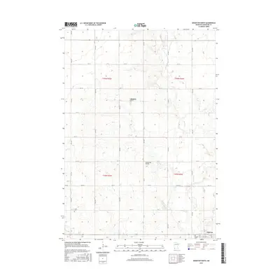
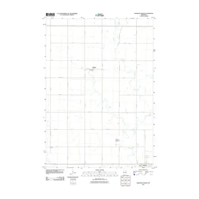 2010 Edgerton North2010 Print · USGSCovers Edgerton, including Trosky, Hatfield, and other nearby areas
 - 2010 Map of Edgerton NE, 2010 Print
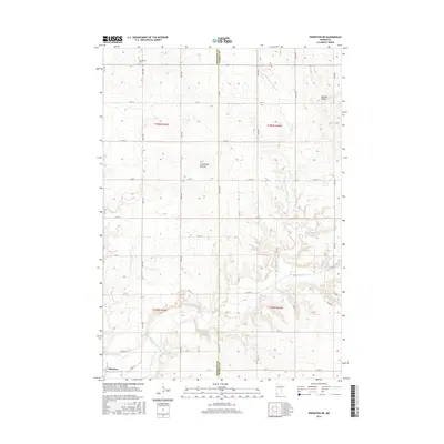
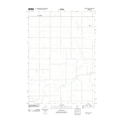 2010 Edgerton NE2010 Print · USGSCovers Edgerton, including Murray County, Pipestone County, and other nearby areas
 - 2010 Map of Edgerton South, 2010 Print
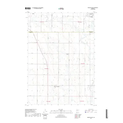
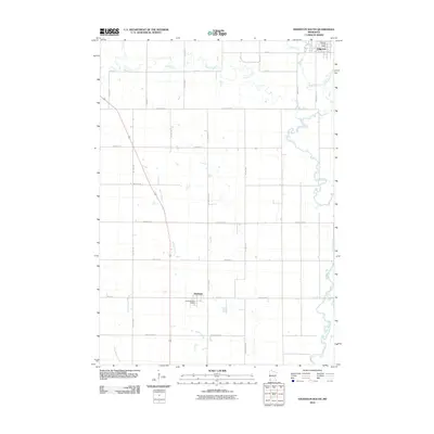 2010 Edgerton South2010 Print · USGSCovers Edgerton, including Hardwick, Trosky, and other nearby areas
 - 2010 Map of Kenneth, 2010 Print
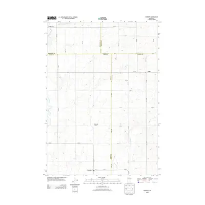
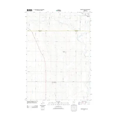
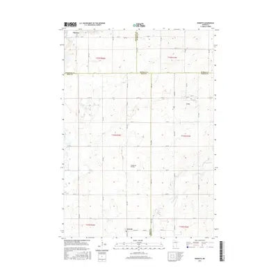
 2010 Kenneth2010 Print · USGSCovers Edgerton, including Leota, Kenneth, and other nearby areas
 - 2013 Map of Kenneth, 2013 Print
 2013 Kenneth2013 Print · USGSCovers Edgerton, including Leota, Kenneth, and other nearby areas
 - 2013 Map of Edgerton NE, 2013 Print
 2013 Edgerton NE2013 Print · USGSCovers Edgerton, including Murray County, Pipestone County, and other nearby areas
 - 2013 Map of Edgerton South, 2013 Print
 2013 Edgerton South2013 Print · USGSCovers Edgerton, including Hardwick, Trosky, and other nearby areas
 - 2013 Map of Edgerton North, 2013 Print
 2013 Edgerton North2013 Print · USGSCovers Edgerton, including Trosky, Hatfield, and other nearby areas
 - 2016 Map of Edgerton South, 2016 Print
 2016 Edgerton South2016 Print · USGSCovers Edgerton, including Hardwick, Trosky, and other nearby areas
 - 2016 Map of Edgerton North, 2016 Print
 2016 Edgerton North2016 Print · USGSCovers Edgerton, including Trosky, Hatfield, and other nearby areas
 - 2016 Map of Kenneth, 2016 Print
 2016 Kenneth2016 Print · USGSCovers Edgerton, including Leota, Kenneth, and other nearby areas
 - 2016 Map of Edgerton NE, 2016 Print
 2016 Edgerton NE2016 Print · USGSCovers Edgerton, including Murray County, Pipestone County, and other nearby areas
 - 2019 Map of Edgerton South, 2019 Print
 2019 Edgerton South2019 Print · USGSCovers Edgerton, including Hardwick, Trosky, and other nearby areas
 - 2019 Map of Edgerton North, 2019 Print
 2019 Edgerton North2019 Print · USGSCovers Edgerton, including Trosky, Hatfield, and other nearby areas
 - 2019 Map of Edgerton NE, 2019 Print
 2019 Edgerton NE2019 Print · USGSCovers Edgerton, including Murray County, Pipestone County, and other nearby areas
 - 2019 Map of Kenneth, 2019 Print
 2019 Kenneth2019 Print · USGSCovers Edgerton, including Leota, Kenneth, and other nearby areas
 - 2022 Map of Kenneth, 2022 Print
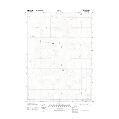
 2022 Kenneth2022 Print · USGSSouthwestern Minnesota prairie life is captured here in the early 2020s, showing the intersection of four counties atop the Coteau des Prairies. Genealogists and local historians can trace the rural layouts of Kenneth and Leota, including the location of the Leota Cem.
 - 2022 Map of Edgerton South, 2022 Print
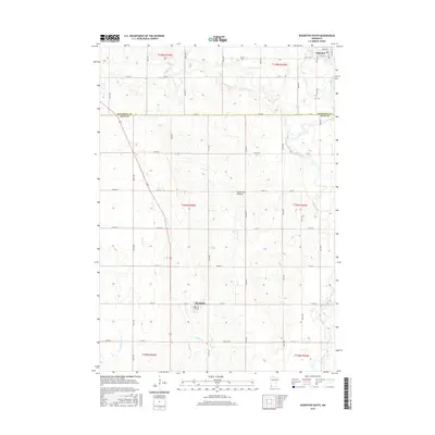
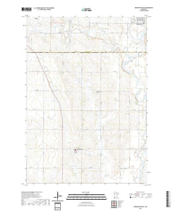 2022 Edgerton South2022 Print · USGSThe high prairie plateau of southwestern Minnesota is captured here in the early 2020s, showing a land defined by its agricultural grid. Trace local roots and farmsteads near Edgerton, Hardwick, or along the banks of the Rock River and Mound Cr.
Showing maps 1-25 of 27
Top cities near Edgerton
- Luverne historical maps
- Pipestone historical maps
- Leota historical maps
- Chandler historical maps
- Lake Wilson historical maps
- Lismore historical maps
See more
Frequently asked questions
- What are the different types of historical maps available for Edgerton?
- What is the oldest map of Edgerton?
- Where can I purchase historical maps of Edgerton for my home or office?
- Where can I download high-res historical maps of Edgerton?
- Are there historical topographic maps available for Edgerton?
- Is there historical aerial imagery available for Edgerton?
- Where are historical maps of Edgerton sourced from?