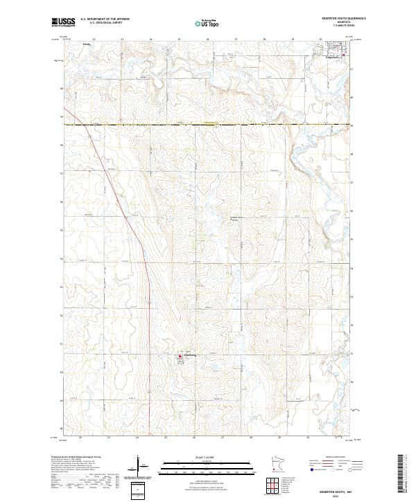
2022 Map of Edgerton South
USGS Topo · Published 2022About this map
The Coteau des Prairies upland plateau defines this section of southwestern Minnesota, where the high prairie begins its gradual descent toward the Rock River valley. This 2022 survey captures a landscape dominated by agriculture and rural infrastructure, punctuated by the small settlements of Edgerton, Hardwick, and Trosky. The drainage pattern is a defining characteristic of the terrain, with numerous watercourses like Mound Cr and Poplar Cr carving shallow valleys through the glacial till. The strictly gridded road network, featuring routes such as Co HWY 1 and Co HWY 7, highlights the persistence of the Public Land Survey System in organizing the modern township and range layout. Genealogy researchers will find these section lines and local thoroughfares like TWP RD 82 essential for pinpointing historical family farmstead locations across the Pipestone and Rock County line.
Find a feature on this map
39 named features on this map. Tap any name to fly to it.
Don’t see what you’re looking for? This feature index may not catch every label — zoom into the map to look around manually.
Map Details
Editions of this 2022 Edgerton South Map
This is the sole edition of this map. No revisions or reprints were ever made.
Other maps of this area

1955 · Sioux Falls
USGS Topo · 1:250,000

1958 · Sioux Falls
USGS Topo · 1:250,000

1967 · Edgerton South
USGS Topo · 1:24,000

1967 · Magnolia
USGS Topo · 1:24,000

1967 · Edgerton North
USGS Topo · 1:24,000

1967 · Edgerton NE
USGS Topo · 1:24,000

1967 · Kenneth
USGS Topo · 1:24,000

1967 · Jasper SE
USGS Topo · 1:24,000

1967 · Hills NE
USGS Topo · 1:24,000

1967 · Pipestone South
USGS Topo · 1:24,000