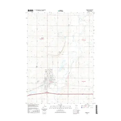
2016 Map of Luverne
USGS Topo · Published 2016About this map
Luverne serves as the focal point of this Rock County landscape, situated where the Rock River meets several of its tributaries. The town's grid is documented in fine detail, showing its expansion along streets like W Main St and E Veterans Dr. The geography is defined by the Coteau des Prairies upland and a prominent local landmark known as The Mound, which overlooks the river valley. To the north, the N Mound Cr Pool and S Mound Cr Pool indicate managed water resources along Mound Cr. Genealogists will find a high density of burial sites including the Norwegian Cem, Saint Catherines Cem, and Maplewood Cem, providing a clear record of the community’s historical development and diverse heritage.
Find a feature on this map
65 named features on this map. Tap any name to fly to it.
Don’t see what you’re looking for? This feature index may not catch every label — zoom into the map to look around manually.
Map Details
Editions of this 2016 Luverne Map
This is the sole edition of this map. No revisions or reprints were ever made.
Other maps of this area

1955 · Sioux Falls
USGS Topo · 1:250,000

1958 · Sioux Falls
USGS Topo · 1:250,000

1967 · Edgerton South
USGS Topo · 1:24,000

1967 · Magnolia
USGS Topo · 1:24,000

1967 · Hills
USGS Topo · 1:24,000

1967 · Kenneth
USGS Topo · 1:24,000

1967 · Jasper SE
USGS Topo · 1:24,000

1967 · Hills NE
USGS Topo · 1:24,000

1967 · Ellsworth
USGS Topo · 1:24,000

1967 · Ash Creek
USGS Topo · 1:24,000