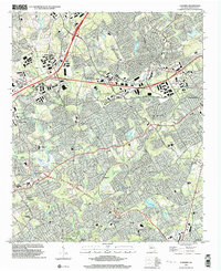
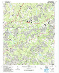
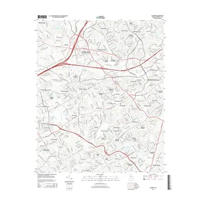
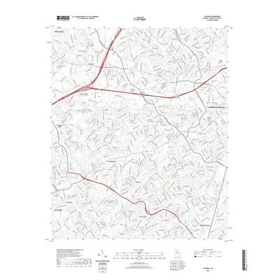
1999 Map of Luxomni
USGS Topo · Published 2003About this map
Yellow River and Sweetwater Creek wind through this part of Gwinnett County, illustrating the transition from older agricultural roots to suburban expansion. The map documents numerous community anchors, including the namesake Luxomni and Gloster settlements. Genealogists will find significant value in the distribution of family-named landmarks and historical burial sites like Ford Cem and Friendship Ch Cem.
Find a feature on this map
76 named features on this map. Tap any name to fly to it.
Don’t see what you’re looking for? This feature index may not catch every label — zoom into the map to look around manually.
Map Details
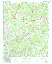
Editions of this 1999 Luxomni Map
This is the sole edition of this map. No revisions or reprints were ever made.
Historical Maps of Lawrenceville Through Time
15 maps found
1963 Luxomni
Gwinnett County, GA
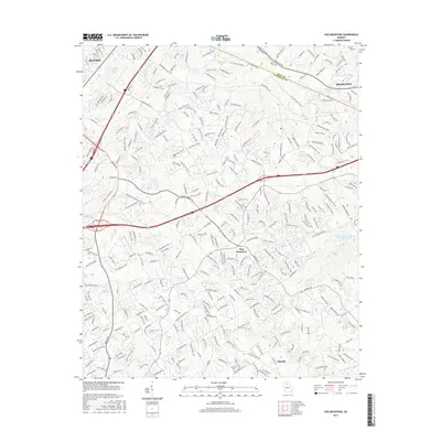
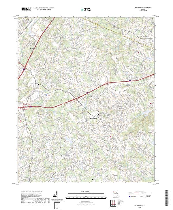
1964 Hog Mountain
Gwinnett County, GA
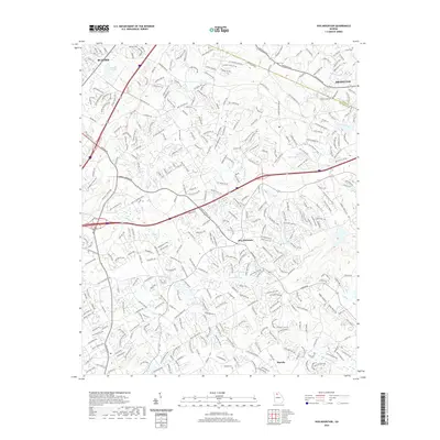
1992 Hog Mountain
Gwinnett County, GA
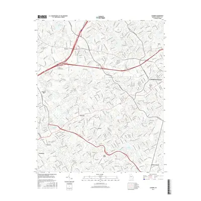
1992 Luxomni
Gwinnett County, GA
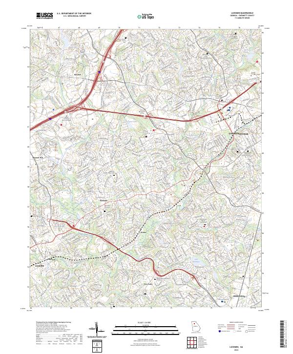
1999 Luxomni
Gwinnett County, GA
2011 Hog Mountain
Gwinnett County, GA
2011 Luxomni
Gwinnett County, GA
2014 Hog Mountain
Gwinnett County, GA
2014 Luxomni
Gwinnett County, GA
2017 Hog Mountain
Gwinnett County, GA
2017 Luxomni
Gwinnett County, GA
2020 Hog Mountain
Gwinnett County, GA
2020 Luxomni
Gwinnett County, GA
2024 Hog Mountain
Gwinnett County, GA
2024 Luxomni
Gwinnett County, GA