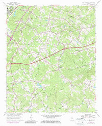
1964 Map of Hog Mountain
USGS Topo · Published 1987About this map
Hog Mountain serves as a prominent geographic anchor in this 1960s landscape, marking the headwaters for several major Georgia drainage systems. The survey captures the rural character of northern Gwinnett County before its later suburban transformation, documented through a dense network of family-named roads and community landmarks. The Apalachee River, Alcovy River, and Yellow River all trace their beginnings here, alongside the Little Mulberry River. This period shows the transition from agrarian roots to modern infrastructure, where established institutions like Gravel Springs Ch and Harmony Sch coexist with the growing footprint of Buford and the Rock Quarry Prison. Small family and community ties are evident in the proximity of Ivy Creek Ch, Old Ivy Ch, and Waters Cem, while man-made water features such as Crowe Lakes and Hogan Lake indicate shifting land use in the mid-20th century.
Find a feature on this map
50 named features on this map. Tap any name to fly to it.
Don’t see what you’re looking for? This feature index may not catch every label — zoom into the map to look around manually.
Map Details
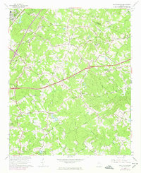
Editions of this 1964 Hog Mountain Map
3 editions found

Other maps of this area

1888 · Atlanta
USGS Topo · 1:125,000

1890 · Suwanee
USGS Topo · 1:125,000

1890 · Atlanta
USGS Topo · 1:125,000

1891 · Gainesville
USGS Topo · 1:125,000

1892 · Atlanta
USGS Topo · 1:125,000

1894 · Suwanee
USGS Topo · 1:125,000

1895 · Atlanta
USGS Topo · 1:125,000

1896 · Monroe
USGS Topo · 1:125,000

1953 · Atlanta
USGS Topo · 1:250,000

1953 · Athens
USGS Topo · 1:250,000