Loading...
Loading map...1967 Map of Lyman
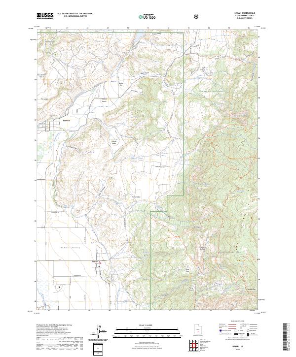
USGS Topo · Published 1973About this map
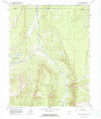
Old Blacks Fork Commissary and nearby ruins stand along the winding course of Blacks Fork in this 1960s survey of the high mountain borderlands between Utah and Wyoming. The landscape is defined by the convergence of the Little West Fork, Middle Fork, and East Fork, which flow north from the heights of the Wasatch National Forest toward the newly formed Meeks Cabin Reservoir.
Find a feature on this map
40 named features on this map. Tap any name to fly to it.
Don’t see what you’re looking for? This feature index may not catch every label — zoom into the map to look around manually.
Map Details
Date Portrayed1967
Date Published1973
PublisherU.S. Geological Survey
Map TypeTopographic
Scale1:24,000
Physical Dimensions22.7 x 26.9 inches
Editions of this 1967 Lyman Map
This is the sole edition of this map. No revisions or reprints were ever made.
Historical Maps of Lyman Through Time
4 maps found
Featured Locations
Source Details
SourceU.S. Geological Survey
CopyrightPublic Domain