
1952 Map of Torrey
USGS Topo · Published 1958About this map
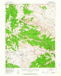
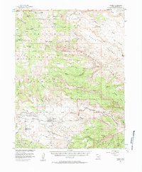
Thousand Lake Mountain dominates the western skyline of this 1952 topographic study, its high plateaus punctuated by numerous alpine waters such as Deep Creek Lake and Neff Reservoir. The settlement of Torrey sits at the base of the uplift, where the Fremont River begins its descent through the striking geological features of the Waterpocket Fold. This era predates the expansion of modern park boundaries, capturing Capitol Reef National Monument in a more restricted footprint than today, centered on landmarks like Chimney Rock and Capitol Canyon.
Find a feature on this map
74 named features on this map. Tap any name to fly to it.
Don’t see what you’re looking for? This feature index may not catch every label — zoom into the map to look around manually.
Map Details
Editions of this 1952 Torrey Map
3 editions found
Other maps of this area

1885 · Fish Lake
USGS Topo · 1:250,000

1896 · Fish Lake
USGS Topo · 1:250,000

1952 · Notom 2 NW
USGS Topo · 1:24,000

1952 · Loa 1 SE
USGS Topo · 1:24,000

1952 · Notom 3 NW
USGS Topo · 1:24,000

1952 · Notom 2 SE
USGS Topo · 1:24,000

1952 · Notom 2 SW
USGS Topo · 1:24,000

1952 · Notom 4 NW
USGS Topo · 1:24,000

1952 · Notom 2 NE
USGS Topo · 1:24,000

1952 · Notom 3 NE
USGS Topo · 1:24,000