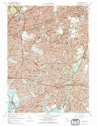
1969 Map of Lynbrook
USGS Topo · Published 1972About this map
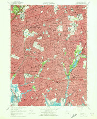
The dense suburban boundary between Queens Co and Nassau Co is captured here during a period of intense post-war development. Massive institutional footprints like the Creedmoor State Hospital and Adelphi Univ anchor the landscape, while the extensive grounds of Beth David Cemetery and Montefiore Cemetery provide significant open space amidst the tightening residential grid. Transportation infrastructure dominates the area, defined by the winding paths of the Southern State Pkwy and the heavy corridors of the Long Island RR serving established villages like Floral Park and Garden City. Near the coast, the marshy inlets of Hewlett Bay and Head of Bay contrast with the engineered shoreline of Meadowmere Park, illustrating the tension between the natural wetlands and the expanding urban reach of the late 1960s.
Find a feature on this map
107 named features on this map. Tap any name to fly to it.
Don’t see what you’re looking for? This feature index may not catch every label — zoom into the map to look around manually.
Map Details
Editions of this 1969 Lynbrook Map
2 editions found
Other maps of this area

1889 · Brooklyn
USGS Topo · 1:62,500

1891 · Brooklyn
USGS Topo · 1:62,500

1891 · Harlem
USGS Topo · 1:62,500

1897 · Harlem
USGS Topo · 1:62,500

1897 · Brooklyn
USGS Topo · 1:62,500

1897 · Hempstead
USGS Topo · 1:62,500

1897 · Oyster Bay
USGS Topo · 1:62,500

1898 · Harlem
USGS Topo · 1:62,500

1898 · Hempstead
USGS Topo · 1:62,500

1898 · Brooklyn
USGS Topo · 1:62,500