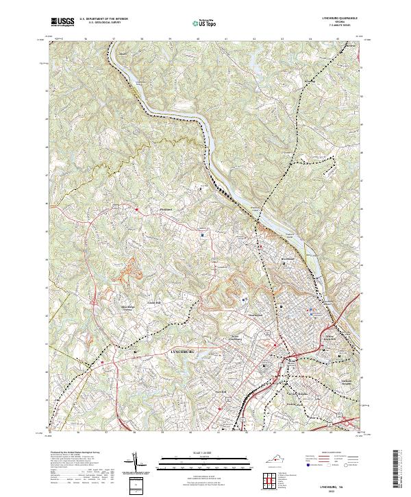
2022 Map of Lynchburg
USGS Topo · Published 2022About this map
Lynchburg and its surrounding neighborhoods are defined by the winding course of the James River, which serves as a natural boundary between Amherst Co and Bedford Co. The terrain is marked by several significant river islands, including Chestnut Island, Woodruff Island, and Percivals Island, while the urban landscape is shaped by the steep hills that host the city's historic core. Education and civic life are prominent, with the campuses of Randolph College, the University of Lynchburg, and Virginia University of Lynchburg established across different districts.
Find a feature on this map
55 named features on this map. Tap any name to fly to it.
Don’t see what you’re looking for? This feature index may not catch every label — zoom into the map to look around manually.
Map Details
Editions of this 2022 Lynchburg Map
This is the sole edition of this map. No revisions or reprints were ever made.
Other maps of this area

1892 · Lynchburg
USGS Topo · 1:125,000

1894 · Lexington
USGS Topo · 1:125,000

1935 · Buena Vista
USGS Topo · 1:48,000

1935 · Amherst
USGS Topo · 1:48,000

1939 · Amherst
USGS Topo · 1:62,500

1939 · Buena Vista
USGS Topo · 1:62,500

1940 · Buena Vista
USGS Topo · 1:62,500

1944 · Lynchburg
USGS Topo · 1:62,500

1947 · Roanoke
USGS Topo · 1:250,000

1950 · Goode
USGS Topo · 1:62,500