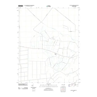
2010 Map of Lynchs Corner
USGS Topo · Published 2010About this map
Lynchs Corner serves as a central hub in this coastal plain landscape, where the geometry of human engineering meets the winding course of the Pasquotank River. This 2010 survey illustrates a region defined by extensive drainage management, characterized by a dense network of man-made waterways including the Newland Drainage Canal, Insurance Ditch, and County Line Ditch. These features reflect a history of land reclamation and water control essential for the local agriculture and timber industries.
Find a feature on this map
33 named features on this map. Tap any name to fly to it.
Don’t see what you’re looking for? This feature index may not catch every label — zoom into the map to look around manually.
Map Details
Editions of this 2010 Lynchs Corner Map
This is the sole edition of this map. No revisions or reprints were ever made.
Other maps of this area

1906 · Beckford
USGS Topo · 1:48,000

1907 · Beckford
USGS Topo · 1:62,500

1919 · Suffolk
USGS Topo · 1:62,500

1940 · Beckford
USGS Topo · 1:62,500

1940 · Lake Drummond
USGS Topo · 1:62,500

1940 · South Mills
USGS Topo · 1:62,500

1945 · Lake Drummond
USGS Topo · 1:62,500

1952 · South Mills
USGS Topo · 1:62,500

1953 · Norfolk
USGS Topo · 1:250,000

1954 · Corapeake
USGS Topo · 1:24,000