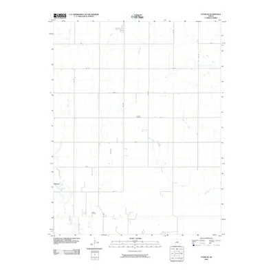
2009 Map of Lyons SE
USGS Topo · Published 2009About this map
Saxman sits at the western edge of this prairie landscape in Rice County, where the agricultural grid is defined by several seasonal watercourses. The drainage patterns of Dry Creek, Jarvis Creek, and Lone Tree Creek snake through the sections, contrasting with the rigid geometry of roads like 21st Rd and Ave L. This 2009 survey highlights the intersection of rural life and natural resources, notably featuring the Wherry Oil Field in the southern portion of the quadrangle.
Find a feature on this map
21 named features on this map. Tap any name to fly to it.
Don’t see what you’re looking for? This feature index may not catch every label — zoom into the map to look around manually.
Map Details
Editions of this 2009 Lyons SE Map
This is the sole edition of this map. No revisions or reprints were ever made.
Other maps of this area

1891 · Hutchinson
USGS Topo · 1:125,000

1893 · Hutchinson
USGS Topo · 1:125,000

1894 · Lyons
USGS Topo · 1:125,000

1955 · Great Bend
USGS Topo · 1:250,000

1955 · Hutchinson
USGS Topo · 1:250,000

1957 · Great Bend
USGS Topo · 1:250,000

1958 · Great Bend
USGS Topo · 1:250,000

1959 · Hutchinson
USGS Topo · 1:250,000

1964 · Windom SW
USGS Topo · 1:24,000
1965 · Hutchinson NW
USGS Topo · 1:24,000