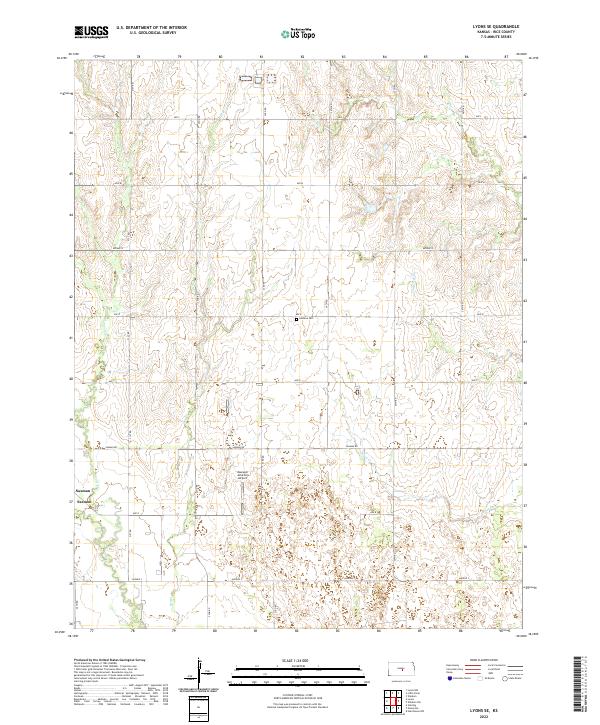
2022 Map of Lyons SE
USGS Topo · Published 2022About this map
The settlement of Saxman anchors the southwestern portion of this Rice County landscape, serving as a focal point for a region defined by agricultural sections and prairie drainages. The area is intersected by a network of rural roads such as Saxman Rd and 22nd Rd, which connect scattered homesteads and local infrastructure. Central to the map is the Maxwell Aviation Airport, reflecting the importance of private aviation in the mid-Kansas plains. Waterways including Sand Cr and Jarvis Cr meander through the terrain, while the solitary Lodiana Cem sits along Ave O, providing a critical touchstone for genealogists and local historians tracking family roots in the township. The regular grid of township boundaries, including t20s r7w and t20s r6w, underscores the organized land management typical of the Kansas interior.
Find a feature on this map
29 named features on this map. Tap any name to fly to it.
Don’t see what you’re looking for? This feature index may not catch every label — zoom into the map to look around manually.
Map Details
Editions of this 2022 Lyons SE Map
This is the sole edition of this map. No revisions or reprints were ever made.
Other maps of this area

1891 · Hutchinson
USGS Topo · 1:125,000

1893 · Hutchinson
USGS Topo · 1:125,000

1894 · Lyons
USGS Topo · 1:125,000

1955 · Great Bend
USGS Topo · 1:250,000

1955 · Hutchinson
USGS Topo · 1:250,000

1957 · Great Bend
USGS Topo · 1:250,000

1958 · Great Bend
USGS Topo · 1:250,000

1959 · Hutchinson
USGS Topo · 1:250,000

1964 · Windom SW
USGS Topo · 1:24,000
1965 · Hutchinson NW
USGS Topo · 1:24,000