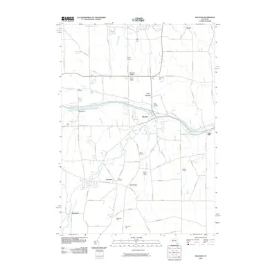
2010 Map of Macedon
USGS Topo · Published 2010About this map
The Erie Canal and its predecessor, the Old Erie Canal, anchor the central geography of this Western New York corridor as it appeared in the early 21st century. The village of Macedon serves as a hub where these historic waterways intersect with local roads like Canandaigua Rd and Macedon Center Rd. To the west, Wayneport sits along the canal banks, while Yellow Mills marks the eastern reach. The map captures a high density of commemorative sites, including the Macedon Village Cemetery and the North Farmington Friends Cemetery, providing essential data for genealogical research.
Find a feature on this map
80 named features on this map. Tap any name to fly to it.
Don’t see what you’re looking for? This feature index may not catch every label — zoom into the map to look around manually.
Map Details
Editions of this 2010 Macedon Map
This is the sole edition of this map. No revisions or reprints were ever made.
Other maps of this area

1899 · Palmyra
USGS Topo · 1:62,500

1900 · Macedon
USGS Topo · 1:62,500

1900 · Canandaigua
USGS Topo · 1:62,500

1902 · Phelps
USGS Topo · 1:62,500

1902 · Palmyra
USGS Topo · 1:62,500

1903 · Canandaigua
USGS Topo · 1:62,500

1932 · Webster
USGS Topo · 1:24,000

1932 · Fairport
USGS Topo · 1:24,000

1934 · Fairport
USGS Topo · 1:24,000

1934 · Webster
USGS Topo · 1:24,000