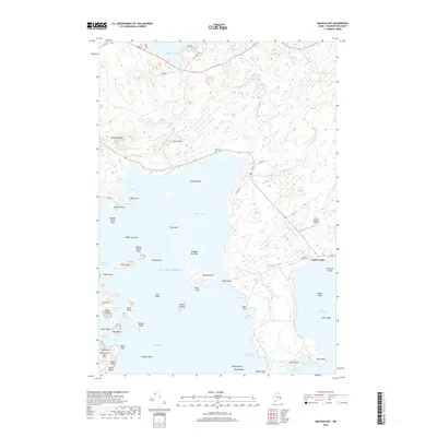
2018 Map of Machias Bay
USGS Topo · Published 2018About this map
Machias Bay and its complex network of inlets define this coastal landscape, where the Atlantic tide pushes deep into Holmes Bay and Little Machias Bay. The shoreline is a dense succession of named points and coves, from the tidal flats at Randall Point Flats to the steep elevations of Woodruff Mtn and Pettegrove Mtn. Inland, the terrain is dotted with freshwater bodies like Gardner Lake and Holmes Pond, which feed into the salt marshes and brooks that lace the peninsula.
Find a feature on this map
70 named features on this map. Tap any name to fly to it.
Don’t see what you’re looking for? This feature index may not catch every label — zoom into the map to look around manually.
Map Details
Editions of this 2018 Machias Bay Map
This is the sole edition of this map. No revisions or reprints were ever made.
Other maps of this area
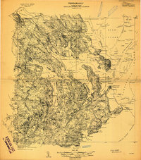
1907 · Eastport
USGS Topo · 1:48,000
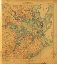
1908 · Eastport
USGS Topo · 1:62,500
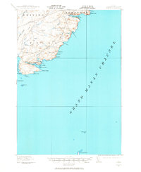
1917 · Cutler
USGS Topo · 1:62,500
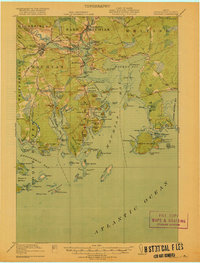
1918 · Machias
USGS Topo · 1:62,500
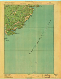
1918 · Cutler
USGS Topo · 1:62,500
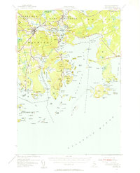
1941 · Machias
USGS Topo · 1:62,500
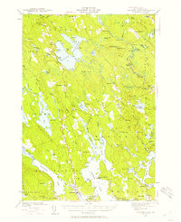
1941 · Gardner Lake
USGS Topo · 1:62,500
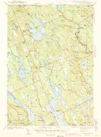
1943 · Gardner Lake
USGS Topo · 1:62,500
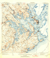
1943 · Eastport
USGS Topo · 1:62,500
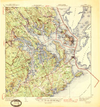
1945 · Eastport
USGS Topo · 1:62,500