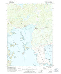
1993 Map of Machias Bay
USGS Topo · Published 1995About this map
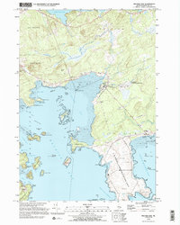
Machias Bay dominates this coastal survey, where the deep waters of the Gulf of Maine meet the intricate, island-strewn shoreline of Washington County. The landscape is defined by its maritime utility and natural preserves, notably featuring the U S Naval Communication Unit with its extensive restricted zones and radio towers east of Holmes Bay. To the south, the Cross Island National Wildlife Refuge protects the rugged islands and narrows at the mouth of the bay, while landward, the topography rises sharply to Woodruff Mountain and Pettegrove Mountain. Small community anchors like the Bay Ridge Sch and Holmes Bay Ch provide a window into the local social fabric of North Cutler and Lowell during the late twentieth century. The map also meticulously charts the Tidal Flats and specialized coastal features like Sprague Neck and the Lighthouse at Avery Rock.
Find a feature on this map
76 named features on this map. Tap any name to fly to it.
Don’t see what you’re looking for? This feature index may not catch every label — zoom into the map to look around manually.
Map Details
Editions of this 1993 Machias Bay Map
2 editions found
Other maps of this area

1907 · Eastport
USGS Topo · 1:48,000

1908 · Eastport
USGS Topo · 1:62,500

1917 · Cutler
USGS Topo · 1:62,500

1918 · Machias
USGS Topo · 1:62,500

1918 · Cutler
USGS Topo · 1:62,500

1941 · Machias
USGS Topo · 1:62,500

1941 · Gardner Lake
USGS Topo · 1:62,500

1943 · Gardner Lake
USGS Topo · 1:62,500

1943 · Eastport
USGS Topo · 1:62,500

1945 · Eastport
USGS Topo · 1:62,500