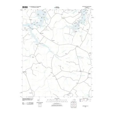
2010 Map of Machodoc
USGS Topo · Published 2010About this map
Lower Machodoc Creek and Nomini Creek dominate this landscape on the Northern Neck, where the land dissolves into a series of points and coves. The 2010 geography reflects a long history of maritime and agricultural life, evidenced by legacy features like McGuires Wharf and Beales Wharf along the water's edge. Inland, the map reveals a high density of named farms and family-associated landmarks such as Antioch Farm and Mount Pleasant Farm, alongside established communities like Hague, Mount Holly, and Oldhams. This area maintains its rural character through managed woodlands and small settlements connected by a web of local routes like Scenic Dr and Federal Farm Rd. Genealogists will find particular value in the dispersed burial grounds, including Potomac Cemetery, Lee Cemetery, and Ebenezer Cemetery, which anchor the histories of these riverside neighborhoods.
Find a feature on this map
98 named features on this map. Tap any name to fly to it.
Don’t see what you’re looking for? This feature index may not catch every label — zoom into the map to look around manually.
Map Details
Editions of this 2010 Machodoc Map
This is the sole edition of this map. No revisions or reprints were ever made.
Other maps of this area

1892 · Piney Point
USGS Topo · 1:62,500

1892 · Montross
USGS Topo · 1:62,500

1894 · Piney Point
USGS Topo · 1:62,500

1895 · Nomini
USGS Topo · 1:125,000

1895 · Piney Point
USGS Topo · 1:62,500

1895 · Montross
USGS Topo · 1:62,500

1898 · Nomini
USGS Topo · 1:125,000

1901 · Piney Point
USGS Topo · 1:62,500

1917 · Morattico
USGS Topo · 1:62,500

1918 · Tappahannock
USGS Topo · 1:62,500