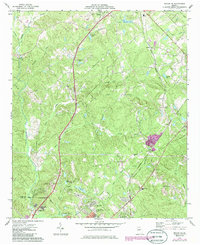
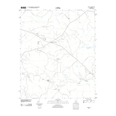
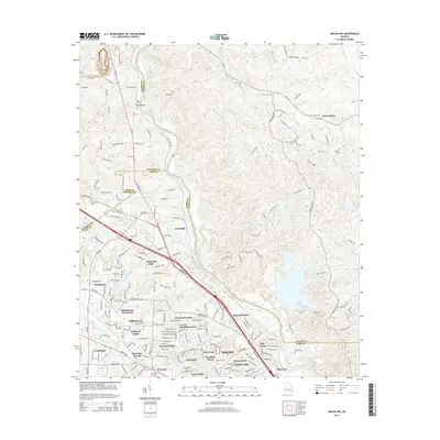
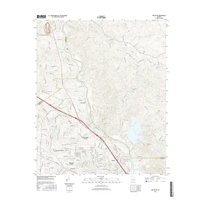
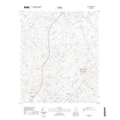
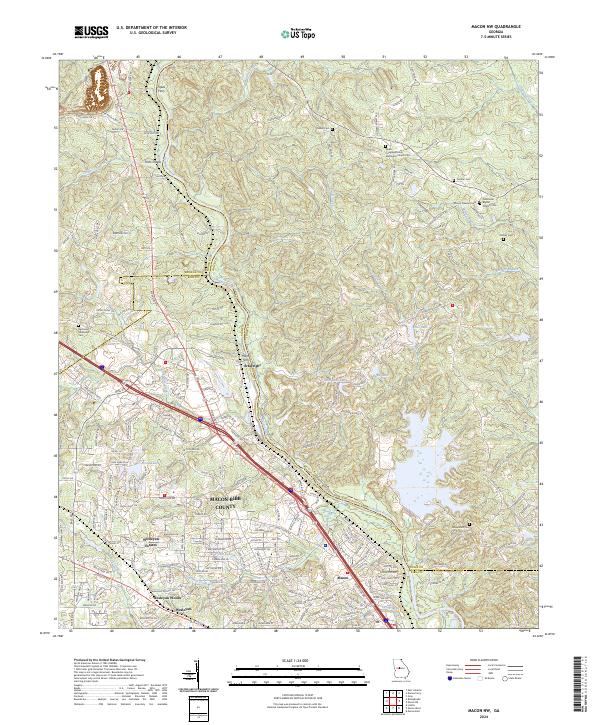
1973 Map of Macon NW
USGS Topo · Published 1985About this map
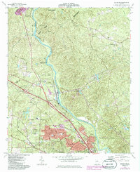
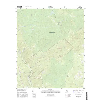
Ocmulgee River serves as the central artery for this mid-1970s landscape, winding south past Popes Ferry and the Piedmont National Wildlife Refuge. The map captures the suburban expansion of northern Macon during a period of significant transition, visible in the residential developments along Wesleyan Drive and Northside Drive. This growth is anchored by Wesleyan College and Tattnall Square Academy, while older rural footprints persist in the form of numerous family-named cemeteries and churches like Salem Cem and Sardis Ch & Cem.
Find a feature on this map
61 named features on this map. Tap any name to fly to it.
Don’t see what you’re looking for? This feature index may not catch every label — zoom into the map to look around manually.
Map Details
Editions of this 1973 Macon NW Map
2 editions found
Historical Maps of Macon Through Time
30 maps found
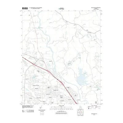
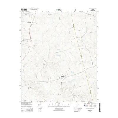
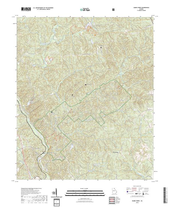
1964 Dames Ferry
Jones County, GA
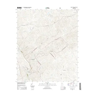
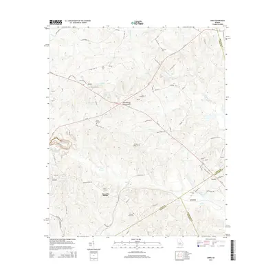
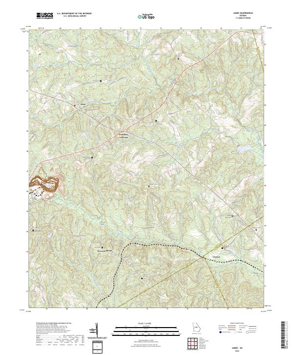
1973 James
Jones County, GA
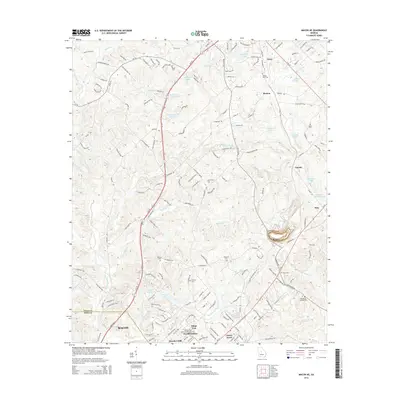
1973 Macon NE
Jones County, GA
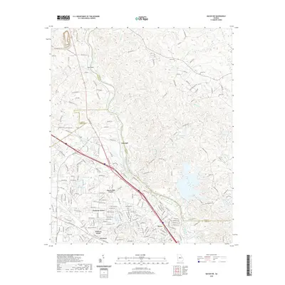
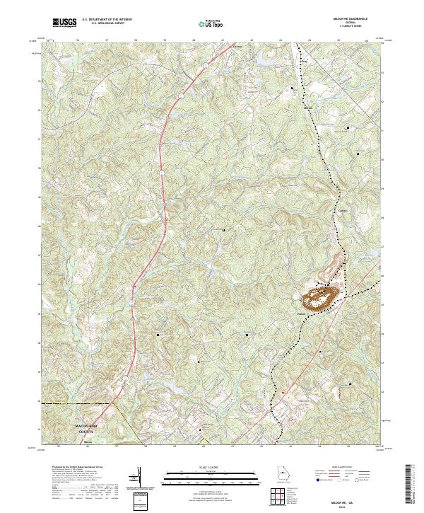
1973 Macon NW
Jones County, GA
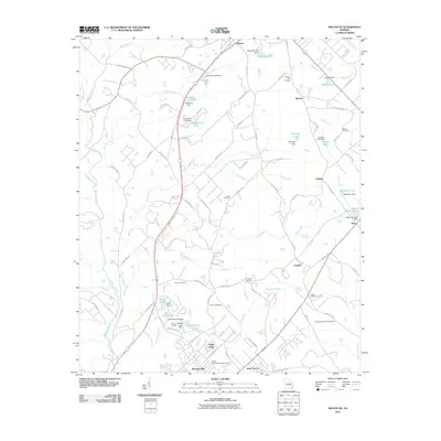
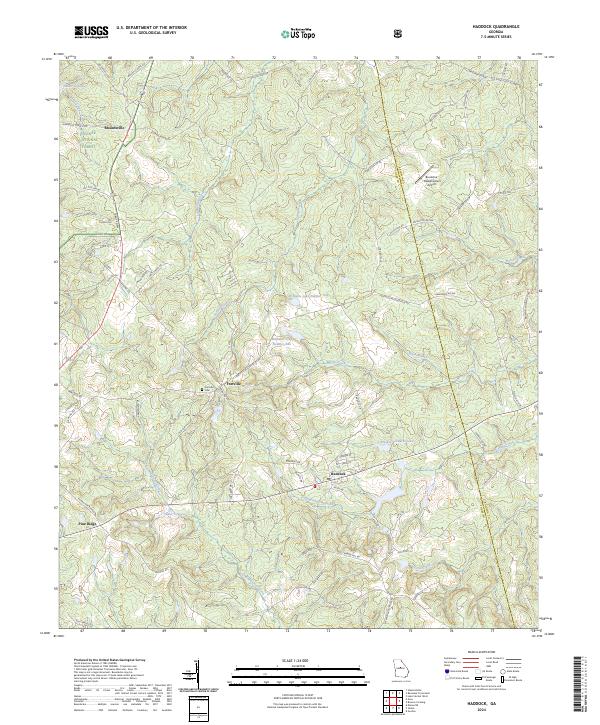
1978 Haddock
Jones County, GA
2011 Dames Ferry
Jones County, GA
2011 Haddock
Jones County, GA
2011 James
Jones County, GA
2011 Macon NE
Jones County, GA
2011 Macon NW
Jones County, GA
2014 Dames Ferry
Jones County, GA
2014 Haddock
Jones County, GA
2014 James
Jones County, GA
2014 Macon NE
Jones County, GA
2014 Macon NW
Jones County, GA
2017 Dames Ferry
Jones County, GA
2017 Haddock
Jones County, GA
2017 James
Jones County, GA
2017 Macon NE
Jones County, GA
2017 Macon NW
Jones County, GA
2020 Dames Ferry
Jones County, GA
2020 Haddock
Jones County, GA
2020 James
Jones County, GA
2020 Macon NE
Jones County, GA
2020 Macon NW
Jones County, GA
2024 Dames Ferry
Jones County, GA
2024 Haddock
Jones County, GA
2024 James
Jones County, GA
2024 Macon NE
Jones County, GA
2024 Macon NW
Jones County, GA