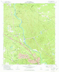
1973 Map of Macon NW
USGS Topo · Published 1977About this map
The Ocmulgee River carves a winding path through this 1973 landscape, serving as the boundary between Monroe and Jones counties. Along the western banks, the Southern Railway tracks parallel the water, connecting the small settlement of Popes Ferry in the north to the industrial activity at Arkwright, characterized by a prominent Power Plant and nearby Drive-in Theater. To the north, the Piedmont National Wildlife Refuge preserves a significant portion of the wooded terrain, while the southern edge shows the suburban expansion of Macon. This era captures a mix of academic and residential growth, featuring the campus of Wesleyan College and the developments of Timberlane and Normandy. Numerous family landmarks and rural institutions, such as Mt Pleasant Ch and the Mc Kay Cem, are scattered throughout the hills of Pea Ridge and Pate Ridge.
Find a feature on this map
73 named features on this map. Tap any name to fly to it.
Don’t see what you’re looking for? This feature index may not catch every label — zoom into the map to look around manually.
Map Details
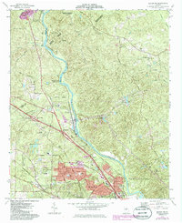
Editions of this 1973 Macon NW Map
2 editions found
Other maps of this area

1951 · Forsyth
USGS Topo · 1:62,500

1953 · Athens
USGS Topo · 1:250,000

1956 · Bolingbroke
USGS Topo · 1:62,500

1956 · Macon West
USGS Topo · 1:24,000

1956 · Macon East
USGS Topo · 1:24,000

1956 · Macon
USGS Topo · 1:62,500

1957 · Macon
USGS Topo · 1:250,000

1958 · Macon
USGS Topo · 1:250,000

1958 · Athens
USGS Topo · 1:250,000

1959 · Athens
USGS Topo · 1:250,000