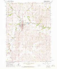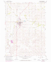
1976 Map of Madison
USGS Topo · Published 1977About this map
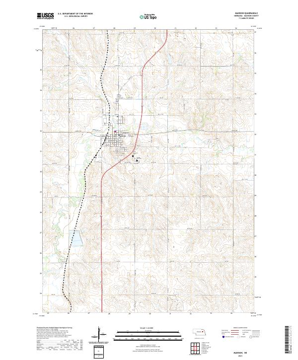
Madison serves as the central hub of this Nebraska agricultural landscape, situated at the confluence of several key transportation corridors in the mid-1970s. The town's grid is bounded by Taylor Creek to the north and Union Creek to the east, with Memorial Park providing a significant green space within the settlement. The map illustrates a community shaped by its rural infrastructure, featuring a series of country schools that anchored the surrounding townships, including Good Cheer Sch and Dover Sch.
Find a feature on this map
18 named features on this map. Tap any name to fly to it.
Don’t see what you’re looking for? This feature index may not catch every label — zoom into the map to look around manually.
Map Details
Editions of this 1976 Madison Map
This is the sole edition of this map. No revisions or reprints were ever made.
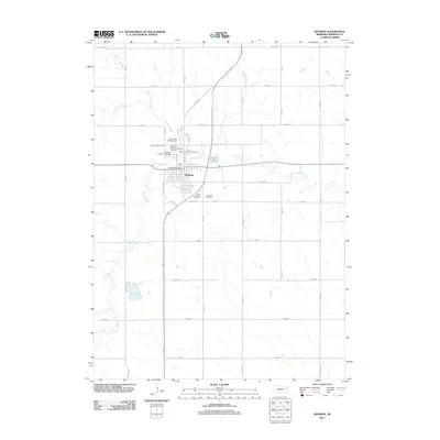
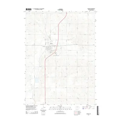
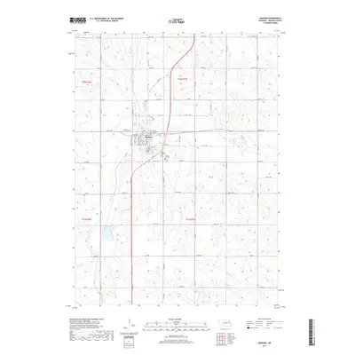
Historical Maps of Madison Through Time
6 maps found