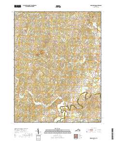
2019 Map of Madison Mills
USGS Topo · Published 2019About this map
The Rapidan River forms a winding natural boundary between Madison County and Orange County, anchoring a landscape defined by historic mills and dispersed rural crossroads. This 2019 survey captures the settlement patterns of the Culpeper Basin, where small communities like Madison Mills and Twymans Mill speak to the area's agricultural and milling roots. Along the roads connecting Locust Dale and Aroda, numerous family and local landmarks appear, including the Kemper Cem and named peaks such as Lost Mtn. The map reveals a complex network of runs and creeks, including Beaverdam Run and Beautiful Run, which have shaped the placement of hamlets like Radiant and Burnt Tree. The southern edge of the sheet includes the northern outskirts of Orange, providing a detailed look at the interface between the county seat and the surrounding Piedmont countryside.
Find a feature on this map
106 named features on this map. Tap any name to fly to it.
Don’t see what you’re looking for? This feature index may not catch every label — zoom into the map to look around manually.
Map Details
Editions of this 2019 Madison Mills Map
This is the sole edition of this map. No revisions or reprints were ever made.
Other maps of this area

1892 · Gordonsville
USGS Topo · 1:125,000

1930 · Madison
USGS Topo · 1:48,000

1933 · Madison
USGS Topo · 1:62,500

1935 · Charlottesville
USGS Topo · 1:62,500

1939 · Charlottesville
USGS Topo · 1:62,500

1949 · Charlottesville
USGS Topo · 1:250,000

1949 · Charlottesville
USGS Topo · 1:62,500

1956 · Charlottesville
USGS Topo · 1:250,000

1961 · Gordonsville
USGS Topo · 1:62,500

1961 · Rapidan
USGS Topo · 1:62,500