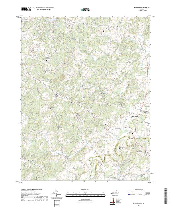
2022 Map of Madison Mills
USGS Topo · Published 2022About this map
The Rapidan River and its numerous tributaries, including Robinson River and Beaverdam Run, carve a complex landscape along the border of Madison and Orange Counties. This area is defined by a dense network of historic family graveyards and rural congregations, reflecting generations of deep-rooted settlement. Genealogists will find a wealth of records in the Madison - Taliaferro Family Cem, Kemper Family Cem, and the Tucker Family Cem. Small hamlets such as Twymans Mill, Locust Dale, and Radiant anchor the rural crossroads, while the Culpeper Basin marks the geological transition in the east. From the Oak Grove Mennonite Church in the northwest to the northern edge of Orange, the map preserves the names of early farmsteads and rural landmarks that have persisted through the modern era.
Find a feature on this map
129 named features on this map. Tap any name to fly to it.
Don’t see what you’re looking for? This feature index may not catch every label — zoom into the map to look around manually.
Map Details
Editions of this 2022 Madison Mills Map
This is the sole edition of this map. No revisions or reprints were ever made.
Other maps of this area

1892 · Gordonsville
USGS Topo · 1:125,000

1930 · Madison
USGS Topo · 1:48,000

1933 · Madison
USGS Topo · 1:62,500

1935 · Charlottesville
USGS Topo · 1:62,500

1939 · Charlottesville
USGS Topo · 1:62,500

1949 · Charlottesville
USGS Topo · 1:250,000

1949 · Charlottesville
USGS Topo · 1:62,500

1956 · Charlottesville
USGS Topo · 1:250,000

1961 · Gordonsville
USGS Topo · 1:62,500

1961 · Rapidan
USGS Topo · 1:62,500