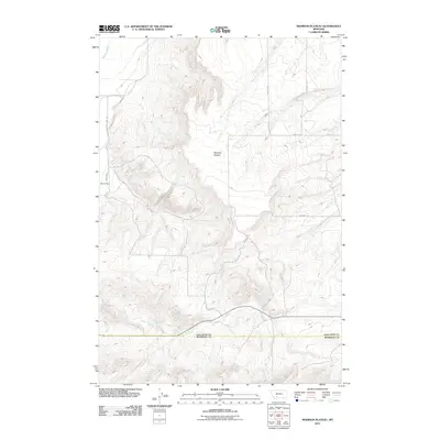
2011 Map of Madison Plateau
USGS Topo · Published 2011About this map
Madison Plateau dominates this Gallatin County landscape, where the high-altitude terrain is defined by its seasonal drainage patterns and agricultural infrastructure. The southwestern corner of the quadrangle shows the Sloan Ranch, a specific point of interest for those tracing local land ownership and ranching operations. Water management is a primary feature of the area, evidenced by the Sloan Ditch which cuts across the western portion of the plateau, likely feeding from Spring Creek.
Find a feature on this map
11 named features on this map. Tap any name to fly to it.
Don’t see what you’re looking for? This feature index may not catch every label — zoom into the map to look around manually.
Map Details
Editions of this 2011 Madison Plateau Map
This is the sole edition of this map. No revisions or reprints were ever made.
Other maps of this area

1888 · Three Forks
USGS Topo · 1:250,000

1894 · Three Forks
USGS Topo · 1:250,000

1895 · Three Forks
USGS Topo · 1:250,000

1947 · Bozeman
USGS Topo · 1:250,000

1948 · Bozeman
USGS Topo · 1:250,000

1949 · Anceney
USGS Topo · 1:62,500

1949 · Manhattan
USGS Topo · 1:62,500

1949 · Norris
USGS Topo · 1:62,500

1950 · Three Forks
USGS Topo · 1:62,500

1951 · Norris
USGS Topo · 1:62,500