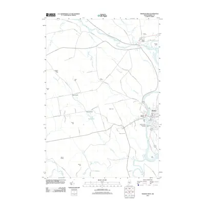
2011 Map of Madison West
USGS Topo · Published 2011About this map
The Kennebec River serves as the industrial and geographic spine of this Somerset County landscape, where the Madison Paper Corporation Log Dam and Abenaquis Dam harness the water's power between the towns of Anson and Madison. This river corridor is central to the area's development, connecting larger settlements to rural crossroads like Dane Corner, Pease Corner, and Five Corners. The map details a landscape transitioning from the riverfront industries to the higher elevations of Holland Waite Hill, Barton Hill, and Mount Hunger in the west.
Find a feature on this map
80 named features on this map. Tap any name to fly to it.
Don’t see what you’re looking for? This feature index may not catch every label — zoom into the map to look around manually.
Map Details
Editions of this 2011 Madison West Map
This is the sole edition of this map. No revisions or reprints were ever made.
Other maps of this area

1894 · Norridgewock
USGS Topo · 1:62,500

1898 · Norridgewock
USGS Topo · 1:62,500
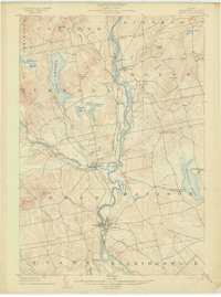
1904 · Anson
USGS Topo · 1:62,500
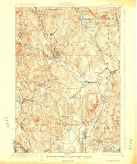
1924 · Farmington
USGS Topo · 1:62,500
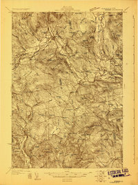
1930 · Kingfield
USGS Topo · 1:48,000
1932 · Kingfield
USGS Topo · 1:62,500
1943 · Norridgewock
USGS Topo · 1:62,500

1948 · Bangor
USGS Topo · 1:250,000
1950 · Lewiston
USGS Topo · 1:250,000
1955 · Anson
USGS Topo · 1:62,500