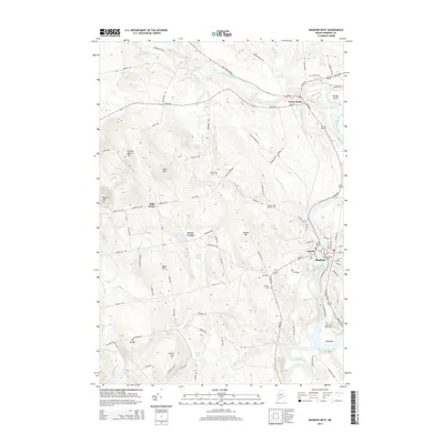
2014 Map of Madison West
USGS Topo · Published 2014About this map
Kennebec River serves as the central artery for this part of Somerset County, where the historic settlements of Anson and Madison face each other across the water. This 2014 edition reveals a landscape shaped by both industry and early Maine history, particularly at Old Point, located just south of the main village. Near this point, researchers can find the Sebastian Rasle Cem, a site deeply connected to the region's colonial-era heritage. To the north, North Anson marks the junction where the Carrabassett River joins the Kennebec, surrounded by family-named landmarks like Savage Island and the Sunset Cem. The western interior is defined by high ground and rural crossroads, including Pease Corner and Dane Corner, which remain linked by a network of local routes like Valley Rd and Pease Hill Rd.
Find a feature on this map
96 named features on this map. Tap any name to fly to it.
Don’t see what you’re looking for? This feature index may not catch every label — zoom into the map to look around manually.
Map Details
Editions of this 2014 Madison West Map
This is the sole edition of this map. No revisions or reprints were ever made.
Other maps of this area

1894 · Norridgewock
USGS Topo · 1:62,500

1898 · Norridgewock
USGS Topo · 1:62,500

1904 · Anson
USGS Topo · 1:62,500

1924 · Farmington
USGS Topo · 1:62,500

1930 · Kingfield
USGS Topo · 1:48,000

1932 · Kingfield
USGS Topo · 1:62,500

1943 · Norridgewock
USGS Topo · 1:62,500

1948 · Bangor
USGS Topo · 1:250,000

1950 · Lewiston
USGS Topo · 1:250,000

1955 · Anson
USGS Topo · 1:62,500