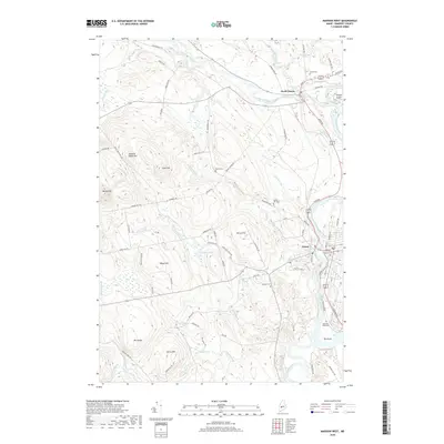
2018 Map of Madison West
USGS Topo · Published 2018About this map
The Carrabassett River meets the Kennebec River in this Somerset County landscape, anchoring the historic villages of North Anson and Anson. The terrain is defined by a series of prominent rises including Hilton Hill, Pease Hill, and Holland Waite Hill, interspersed with water bodies like Nevens Pond and Cold Pond. Local history is deeply embedded in the land, evident in the numerous burial grounds such as Athearn Cem and Sunset Cem. Near the southern bend of the Kennebec, Old Point stands as a notable location, marked by the Sebastian Rasle Cem and the Old Point Cem. The map illustrates a developed road network connecting these settlements, with Trotting Park providing a distinct recreational landmark near the riverbank. This documentation of the area’s river-and-road geography offers a clear view of the longstanding community hubs that have persisted along these vital Maine waterways.
Find a feature on this map
83 named features on this map. Tap any name to fly to it.
Don’t see what you’re looking for? This feature index may not catch every label — zoom into the map to look around manually.
Map Details
Editions of this 2018 Madison West Map
This is the sole edition of this map. No revisions or reprints were ever made.
Other maps of this area

1894 · Norridgewock
USGS Topo · 1:62,500

1898 · Norridgewock
USGS Topo · 1:62,500

1904 · Anson
USGS Topo · 1:62,500

1924 · Farmington
USGS Topo · 1:62,500

1930 · Kingfield
USGS Topo · 1:48,000

1932 · Kingfield
USGS Topo · 1:62,500

1943 · Norridgewock
USGS Topo · 1:62,500

1948 · Bangor
USGS Topo · 1:250,000

1950 · Lewiston
USGS Topo · 1:250,000

1955 · Anson
USGS Topo · 1:62,500